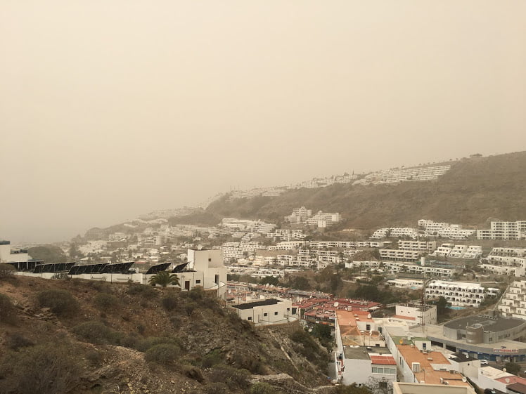
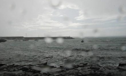
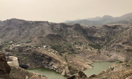
 Cloudy skies dominate throughout the Canary Islands this Tuesday morning with occasional showers likely across the archipelago, according to the forecast of the State Meteorological Agency, as the very tail end of several Atlantic storm systems lash across the islands this week. The sun looks set to return, however, by the end of the week.
Temperatures were unusually warm yesterday ahead of the rains, but will now see a slight decrease, more pronounced in the highlands of midlands and around summits.
Those with keen observation will have noticed that the winds reversed direction yesterday to blow from the Southwest, and today the winds are likely to shift further from the west, with strong with gusts possible particularly at altitude.
Out to sea there southerly or southwesterly winds of between force 2 & 4 are to be expected, increasing from noon to blow from the west or southwest at up to force 4 or 5. Swell or storm surge is likely with waves of around 1 meter.
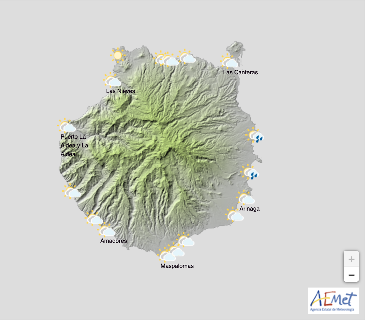
Across Gran Canaria, cloudy in the southwest and at the summit during the first half of the day, tending toward cloudy intervals during the afternoon
There is a probability of occasional shower, mostly light, in the southwest and of weak rainfall elsewhere. 
Minimum temperatures will see few changes with maximums decreasing, more pronounced in mid to high altitude areas. Southwest winds, more intensely inland particularly on slopes facing southwest and at summit, where the winds will turn to blow from the west during the afternoon.
Coastal breezes are expected across the north and northeast.
– Min 22º – 27º Max – Las Palmas de Gran Canaria
– Min 20º – 27º Max – Puerto Rico de Gran Canaria
– Min 17º – 25º Max – Maspalomas/Playa del Inglés

