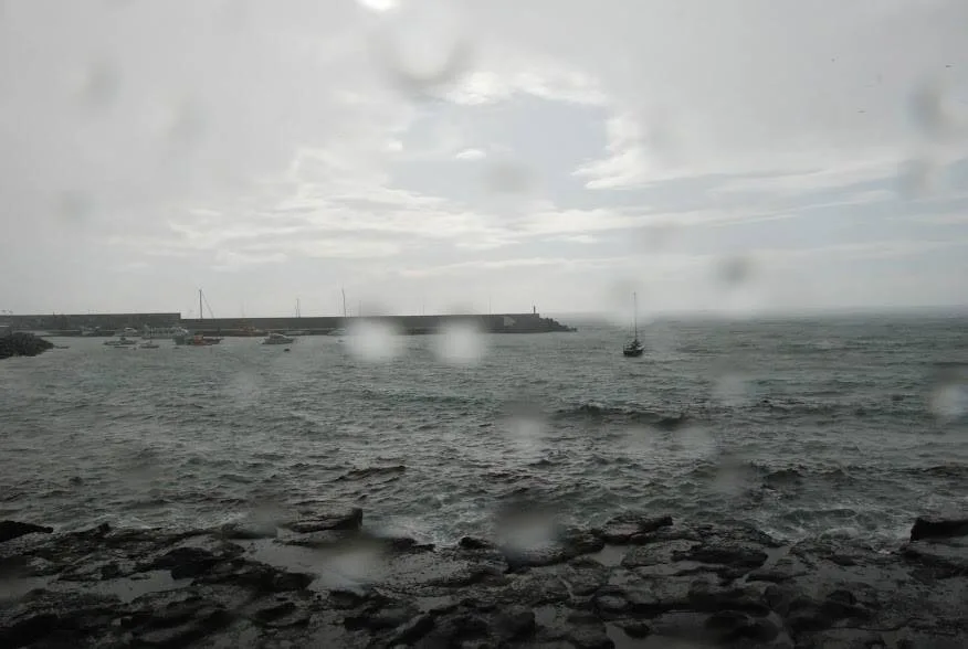
 The Spanish State Meteorological Agency AEMET have activated yellow advisory warnings (risk) for potential rainstorms expected to the province of Las Palmas and on the island of Tenerife as well as for probable snowfall at summits of Tenerife, Gran Canaria and La Palma. This Sunday a yellow advisory remained active for much of the day due to wind and coastal phenomena.
The yellow warning for snowfall will last throughout Monday, with accumulations of snow up to 3 centimeters likely at the very highest points on Gran Canaria. The estimated altitude above which snow will be likely is between 1,700 and 1,800 meters and so is expected on the summits of La Palma, Tenerife and Gran Canaria, though mount Teide, Spain’s highest peak, is the most likely to freeze over, snow will certainly be possible on high points across the archipelago. A yellow warning is also in place for likely storms, with a probability of some hail, active from six in the morning until nine at night.
 Cloudy skies are expected across the archipelago on Monday with rain showers likely in the north and middle of the island, less so on the south coasts, however still a probability.
The rains may be locally strong in some areas, accompanied by storms and/or hail, with snow also likely at the peaks from about 1,700-1,800 meters.


Temperatures will drop with the winds blowing from the north, with plenty of gusts set to continue, strong at the summits and moderate elsewhere.
There is certainly a winter chill in the air, and for the rest of the week we can expect the threat of inclement weather, though we can be sure, it will be better the most places in Europe, it may feel a little less sunny for a while…