 This first week in December on Gran Canaria has begun with a mass of dusty Saharan air reaching the island and looking set to continue through Tuesday and Wednesday, with moderate winds blowing in from the African continent bringing Calima (Saharan Air Layer) to the archipelago in high concentrations for the next few days or so.
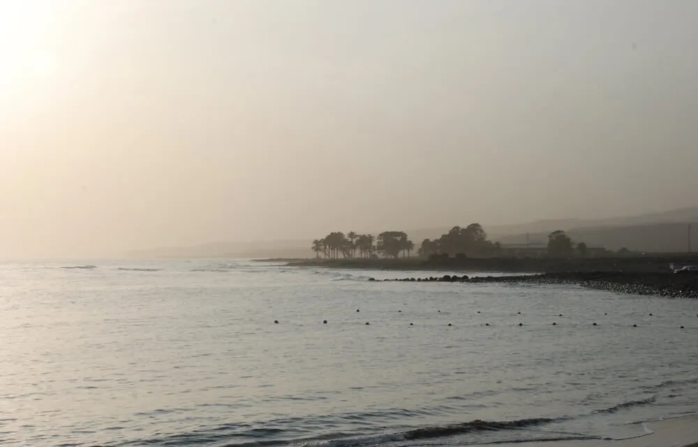
According to the Spanish State Meteorological Agency (AEMET), desert dust concentrations should reach their peak around Wednesday, meaning there could well be some great sunsets and sunrises to see over the next couple of days.
 As is normal at this time of year inland parts of of the island will likely see a drop in temperatures at night, and though Saharan sands will be suspended in the air temperatures are not likely to be significantly higher than 23˚- 24˚C day time on the coasts, and more likely a decidedly chilly 17˚ further inland. Those temperatures could drop dramatically to between 9˚ & 13˚ at night.
Cloudy intervals may dominate parts of the Islands throughout Tuesday, and with the arrival of the dust, a slight rise in temperatures is expected with moderate to strong winds, gusting up to 60 kilometers per hour in places.
The maximum predicted temperatures are around 25˚ in Las Palmas de Gran Canaria and the moderate to strong wind will be from the southeast, more intensely felt on the coasts of the southeast and northwest.

Around the waters of the Canary Islands the winds are expected from the east or northeast at between force 3 and 6 with swell tending to increase to strong swell as the day moves on, with waves from the northwest of around 1 to 2 meters.
It looks to stay dry for the rest of the week and into next weekend, but with building humidity predicted the chances of some rainfall increase a little as we head into next week.