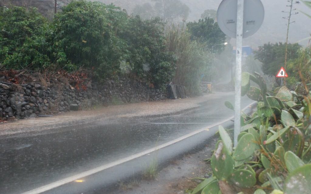
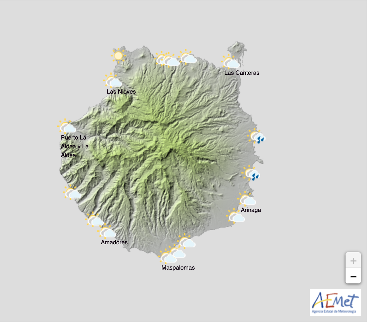
 Cloudy skies ahead with a wet weather front approaching from the west bringing probable squalls, potentially strong on the southern half of the island, and throughout inland areas, and they may be accompanied by occasional stormy weather, according to Spanish Meteorological Agency AEMET, particularly from midday and throughout the afternoon on Wednesday. Likely too to be warming up towards end of the day, with maximum temperatures increasing, and humidity likely to increase too, as the Atlantic wet weather system clashes with the possibility of dry warm air, bringing Saharan dust from the east. The winds will be weak to moderate from the south, more intense in the east and western extremes of the island. Inland and in highland areas moderate southwesterly winds with strong intervals. Breezes on north and south coasts.
 By Thursday medium and high clouds are expected, with predominantly cloudy skies across Gran Canaria from the afternoon, weak rains and showers are forecast mainly inland and as the evening draws in. There is a low probability of some isolated storms by the end of the day with probable Calima dust haze being sucked in over the archipelago from our desert neighbours. Temperatures will again see a slight rise. Loose winds from the east, more intense at the northeast and southern extremes of the island, with breezes along the coasts. With medium to moderate south-easterlies forecast and blowing faster in the south with intervals of strong gusts. A yellow advisory, warning of potential risk, has been issued by AEMET

 As the week comes to a close, cloud and wet weather is predicted across the Canary Islands archipelago. There will likely be showers, locally strong in places and accompanied by occasional storms, mainly in the eastern islands. Calima seems likely to continue, at least in the eastern province during the early hours. Though minimum temperatures are forecast to see a slight decrease, maximums seem likely to remain unchanged. Weak to moderate winds are forecast on Gran Canaria, with intervals of strong gusts in midland and higher areas.

 As we move into the weekend cloudy skies will predominate with showers expected that could be locally moderate in strength. Temperatures likely to see few changes or a slight decrease in minimums with variable loose winds and a moderate northern component in the eastern islands.

