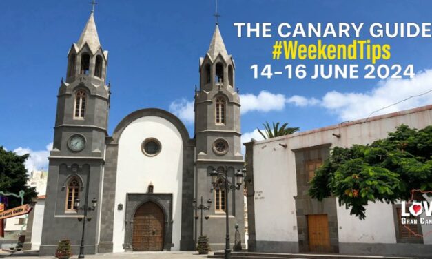
The Canary Guide #WeekendTips 26-28 July 2024
 |
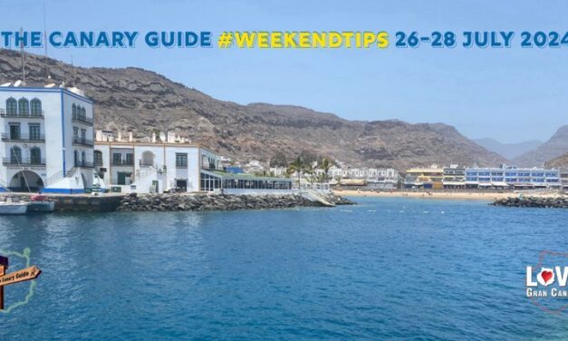
An absolutely fabulous July weekend ahead, with epic events and hot, hot weather! Maspalomas Soul Festival, Virgen del Carmen celebrations, including the famous maritime procession, and much more. The popular biweekly San Fernando Farmers’ Market also moves to a new venue; to the covered patio of the Marcial Franco School, just next to the Municipal Stadium from this Sunday
What a July Weekend ahead! Lets start with the Big Game on Sunday: Spain vs England. Many municipalities are already setting up big screens to broadcast the final on their town squares and bars are going to be busy, so get there early. Virgen del Carmen festivities are in full swing and there will be pilgrimage offering in Arguineguín, Mogán and her Feast Day is on next Tuesday. There is a concert also to enjoy every night by the Faro de Maspalomas Lighthouse this weekend.

Hello July and full on Summer! This year’s main festivities for the Virgen del Carmen start this weekend, celebrating the patron saint of sailors and fisher folk, which will see fiestas around much of Gran Canaria, and in Spain; all themed around water. La Isleta, in the capital, and Arguineguín are two of the biggest and best established to attend. The feast day of the Virgen del Carmen is 16 July.
The sudden and unexplained disappearance of 19-year-old trainee bricklayer Jay Slater from Oswaldtwistle, Lancashire (UK), has captured widespread attention, prompting an extensive search effort and raising significant public concern.

A wonderful last weekend of June on Gran Canaria. It is the main Fataga Apricot festival weekend, in a picturesque village a short mountain drive inland from the beaches of Maspalomas; or you could experience the re-enactment of the historic Battle of El Batán, in Santa Brigida. Coming up as well are the last days of the Foundational festivities of Las Palmas de Gran Canaria as well as patron saints’ festivities including romerías and religious processions in different corners of Gran Canaria.
It’s San Juan weekend, one of the biggest celebrations on Gran Canaria, and throughout Spain, with various festivities for the “Night of San Juan” combining a mixture of traditional fiestas, midnight dips in the sea, music and various rituals, bonfires and fireworks. Here are just our top picks!
Gran Canaria is set to experience a mix of weather conditions this week, with temperatures averaging a pleasant 27ºC to 30ºC in the shade. The forecast includes variations in cloud cover, wind intensity, and slight fluctuations in temperatures. Here is a detailed and factual outlook for the week ahead.

Recent shark sightings near the beaches of Melenara and (possibly) San Agustín, from the coasts of Gran Canaria, have reportedly caused some concern among tourists and locals. Or “Panic” if any of the international press are to be believed.
What a lovely weekend ahead with things getting busier as we head into mid-summer. There are a plethora of festivities and events taking place and our top picks include, Las Palmas de Gran Canaria 546th Foundational festivities and the big outlet fair, Fisaldo at INFECAR. Gáldar Pride parade, parties and infamous high heel race and also numerous patron saint festivities.
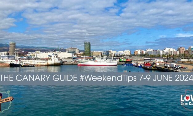
A busy June weekend ahead full of some awesome events and possibility of a little wet weather being the only thing that might hold us back from enjoying it to the fullest. FIMAR, the international Sea Fair and Big Bang Vintage market are in the capital. There is also a Harvest Fair in El Tablero on the south and multitude of Patron Saints’ festivities are being celebrated all around Gran Canaria.
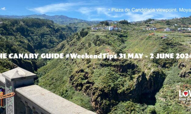
Summer is already upon us as we celebrate the first weekend of June. Festivities for John the Baptist and San Antonio de Padua are just getting starting. Patron Saint festivities in San Fernando de Maspalomas are coming to an end this weekend and the religious observances of Corpus Christi will see handmade “carpets” of salt in the streets celebrated this Sunday, worth a road trip to go to see.
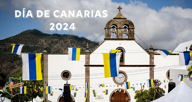
#DíadeCanarias – The Canary Islands’ Day
Canary Islands Day, 30 MAY is an annual bank holiday throughout the archipelago. It’s good to remember that government offices, banks, and many local shops etc. will be closed.
On the 30th of May 1983 The Canary Islands officially became an Autonomous National Region of Spain when The Government of The Canary Islands Parliament sat for the first time. The day has been marked ever since by all municipal town halls, on all 8 islands, in each of the two provinces that make up the archipelago, as the official day for celebration of all things Canarian.
You can expect nearly every town or village to have some sort of public event happening on Thursday, some including Wednesday and even the weekend, with locals dressed in traditional post-conquest clothing and performing folk dances as well as tastings of local produce among other attractions. You might have already seen the shopping centres and shops having loads of Canarian products to sell.
Of course, as tourism has long been the main focus of the economy here you’ll also find representations of traditional foodstuffs like gofio, potatoes, cheeses, mangoes, avocados, ropa vieja, almonds, wines, rum, honey rum, mojos rojo and verde and many items besides on display in hotels and tourist information centres
This is truly a celebration. Here we list just the tip of the iceberg, with a taste of the options for events that will be taking place to celebrate this Canaries’ Day and this week ahead.