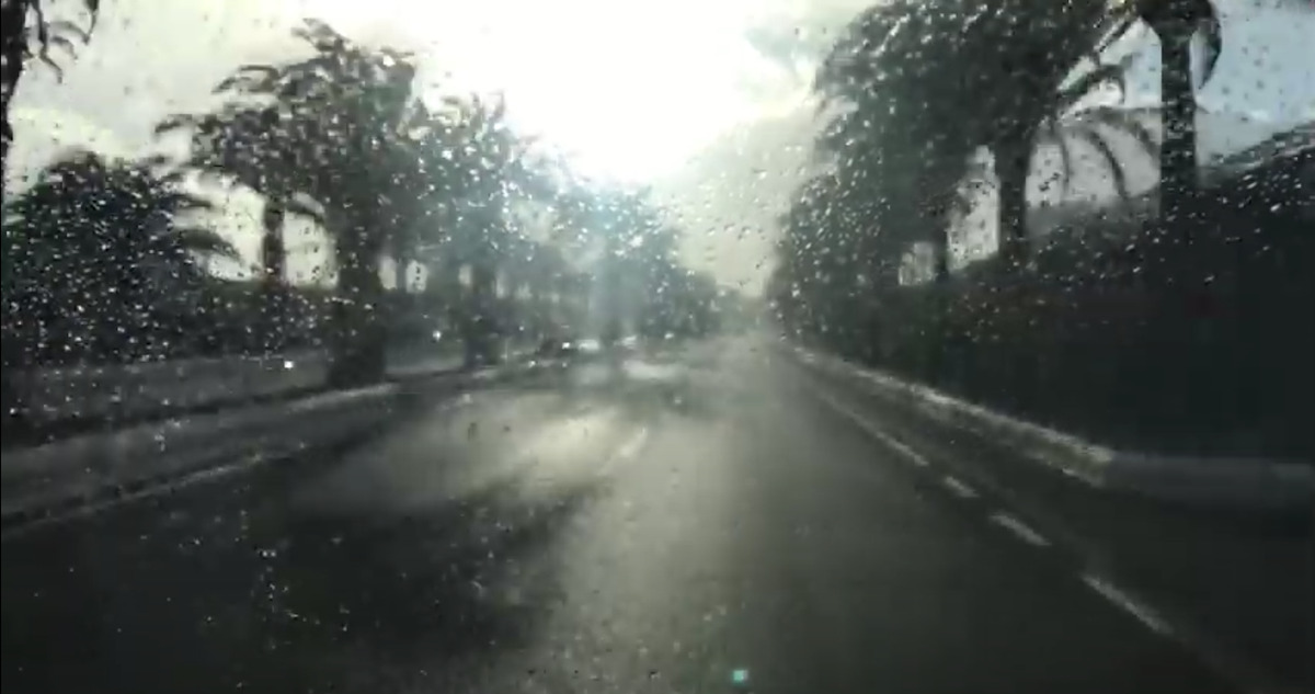
A massive Atlantic storm has been rumbling across the Azores over the last few days, bringing some residual wet weather last weekend and another band of rain which looks set to sweep across the archipelago today, and over the next 12 hours.
This is a second weather front far this month already, and it has led the Government of the Canary Islands to declare an alert on the islands of La Palma and El Hierro, both of which also under an AEMET orange advisory warning, for storms, rains that could leave an accumulated 60 litres of water per square metre over 12 hours, and winds of around 80 kilometres per hour.
For the rest of the archipelago, La Gomera and Tenerife are also under yellow advisories, except to the northeast.
Out at sea
Maritime forecasts for the next few hours, predict winds of up to force 7 around the westernmost islands, as well as in the Anaga-Agaete channel, and the coastal waters of Gran Canaria, where there will be strong swell, with downpours, storms and winds of up to force 6, so extreme caution should be exercised both on the coasts and in marine navigation.
The prediction details cloudy skies and rainfall leaving significant accumulations on the southern and western slopes of the islands, with a possibility of lightening.
West to east
The front will cross the islands from west to east, with a yellow notice on Gran Canaria starting from noon, to remain in force until at least 8pm.
This front will be short-lived, since no more significant phenomena are expected for Thursday.


