 The slight weekend chill gave way on Monday morning to warm breezes blowing in from the east, as forecasters warn that the abnormally warm, dry autumn this year looks set to be interrupted on Wednesday, November 23. Spanish State Meteorological Agency AEMET are predicting a storm that looks set to arrive on the western Canary Islands bringing downpours to the archipelago.
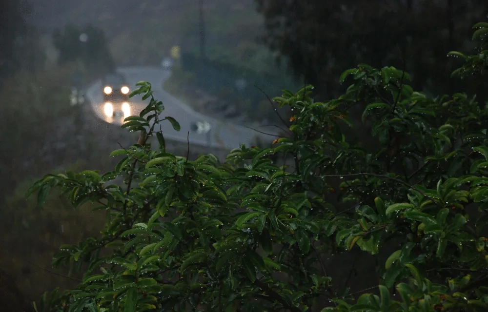
 This week has started with low chances of rain, but by midweek the situation looks set to vary substantially, according to AEMET forecasts, predicting that from Wednesday the Canary Islands will be the focus of a storm that “will leave significant rainfall” although the forecast cannot yet anticipate its scope, the effects of rainfall or the level of alerts or warnings that may be most likely. The primary rains are expected on the western isles from midweek, with an increasing likelihood on Gran Canaria as we move towards the weekend

For the time being, the forecast is for an anticyclonic weather system that will continue today, with predominantly stable weather conditions, some cloud. The Canary Islands Archipelago is forecast to see some high cloud over the eastern islands and to the north of the western islands, elsewhere with intervals of high cloud. Temperatures look set to rise slightly, perhaps more pronouncedly in the eastern islands, with an average of between 22˚C & 24˚C and light winds from the east, and humidity gradually increasing as we move through the week.