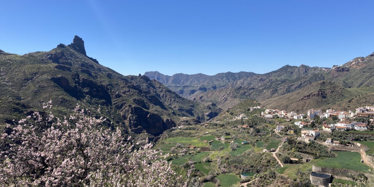
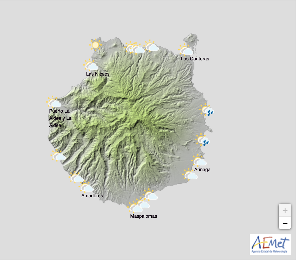
The Canary Islands are experiencing their first previews of summer this weekend with temperatures at the summits of Gran Canaria yesterday having exceeded 31ºC, in the shade, as noted at the Spanish State Meteorological Agency AEMET, via data from their weather station in the picturesque mountain town of Tejeda, which yielded the fourth highest reading in the country.
The heat coming from the African ridge, looks set to continue through Sunday and could still intensify, exceeding the 30ºC, especially on northern slopes of the easternmost islands. as well as on the south and west sides. According to these AEMET predictions skies will be mainly blue, with some intervals of high cloud, and with the presence of Calima haze from the Sahara. The winds will be more intense on the southeast and northwest slopes of Gran Canaria during the early and later hours of the day, while inland and at the peaks it will generally blow lightly and from the east, rolling north during the last hours of the day.
For Monday, high-altitude Calima haze will continue, although there are signs it is already retreating, and while temperatures may begin to drop inland, they will still locally exceed 30ºC on the southern and western slopes of Gran Canaria.
 In Summary:
Slight cloudy skies with a predominance of high cloud. Light haze at altitude. Temperatures slightly rising, being notable locally on southern and western slopes; maximum temperatures will likely exceed 30ºC in inland areas. Generally light wind from the northeast, more intense on the southeast and northwest slopes; in midlands and peaks, wind from the east component turning lightly from the north at the end of the day.
Daytime and Night time temperatures:
Las Palmas de Gran Canaria – Max 27ºC Min 19ºC
Puerto Rico de Gran Canaria – Max 31ºC Min 22º
Maspalomas – Max 31ºC Min 20º
The Summits – Max 28ºC Min 18º


