By Wednesday, however, there could be some storm showers on the westernmost islands, and from Thursday temperatures will begin to drop a little while the Calima is expected to subside, as the trade winds, from the north east, blow with some intensity.

Forecast of storms on Tuesday in the Canary Islands, which will mainly affect Tenerife Windy.com
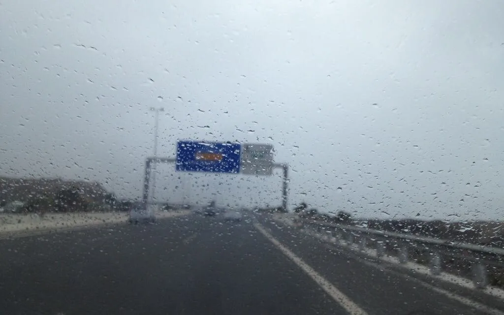
Storm rains are expected to appear this Tuesday on Tenerife first, affecting inland areas of the island both on its northern and southern slopes. And by Wednesday the probability of storms is extended to Gran Canaria, La Gomera, El Hierro and La Palma, in addition to Tenerife. Rains are expected to move westwards by late Wednesday and into Thursday, mostly affecting the westernmost islands, before heading off out over the Atlantic, and disappearing from the archipelago by late in the afternoon. No showers are expected on Friday.

Across mainland Spain, September will start with some instability resulting in showers and locally strong storms, especially to the north and east of the Peninsula, while temperatures will drop throughout this week, becoming cooler than expected for this time of year from Thursday, specifically, between 5º and 10º below seasonal averages in the western half of the peninsula.
30/08 10:36 #AEMET adelanta #FMA por temp. max en Canarias. Activos PASADO MAÑANA. Nivel máx amarillo. Imagen del mapa de avisos en vigor a las 10:36 Para ver una tabla de avisos actualizada haga CLIC EN LA IMAGEN o visite https://t.co/kIFdlmdNJ8 https://t.co/6wvI869k3c
— AEMET_Canarias (@AEMET_Canarias) August 30, 2022