Temperatures look set to drop a little this Monday across the Canary Islands, following our first proper heatwave of the summer, though will still exceed 35ºC in the shade across the south of Gran Canaria, according to Rubén del Campo, spokesman for the Spanish State Meteorological Agency (AEMET), which also suggests that by Tuesday temperatures will normalise, however by the end of this week, he warned, they could rise once more.
Across mainland Spain the second heat wave of the summer looks set to be “extensive and intense”, lasting until at least Thursday, although the State Meteorological Agency say it is “quite likely” that it will continue into next weekend and could reach all the way into next week, some days having the potential to reach temperatures of 45ºC, in the shade, as North African desert winds continue to heat up.
For the moment, AEMET has indicated that Spain’s highest temperatures over this past weekend, on Sunday, July 10, exceeded 43ºC in mainland areas of Extremadura and Castilla-La Mancha, as well as on the island of Gran Canaria, where the mercury touched 43ºC in the shade in Agüimes and 42.8ºC in San Bartolomé de Tirajana.
On Saturday night, into the early hours of Sunday, Agüimes saw minimum temperatures of no less than 33.7ºC and in San Bartolomé de Tirajana the night air did not drop below 30ºC. During the early hours of Sunday to Monday, sleepless nights have been reported across the Canary Islands as well as at various points across the south of peninsular Spain.
 AT 06:00 this Monday morning, the minimum temperature had not dropped below 38ºC in San Bartolomé de Tirajana (according to reports from Europress).
The spokesman pointed out that the current heat wave is being produced by the presence of a high pressure ridge over the Spanish territories, associated with very warm air, and within this ridge there are downward movements of air that compressed and increase the pressure heat heating the air below still further.
Added to this is the very stable atmospheric situation, which prevents large air movements and favours clear skies.
On Monday, on the mainland, an air mass will arrive from Africa that will raise temperatures “even more”. That mass is also carrying suspended dust from the deserts, which will prolong the swelter for the rest of the week, expected to last up to nine days.
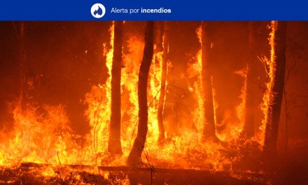
This could form storms, accompanied by gusts of intense wind and electrical activity, so AEMET has also warned that this could cause forest fires, since the risk will be very high or extreme across much of Spain.
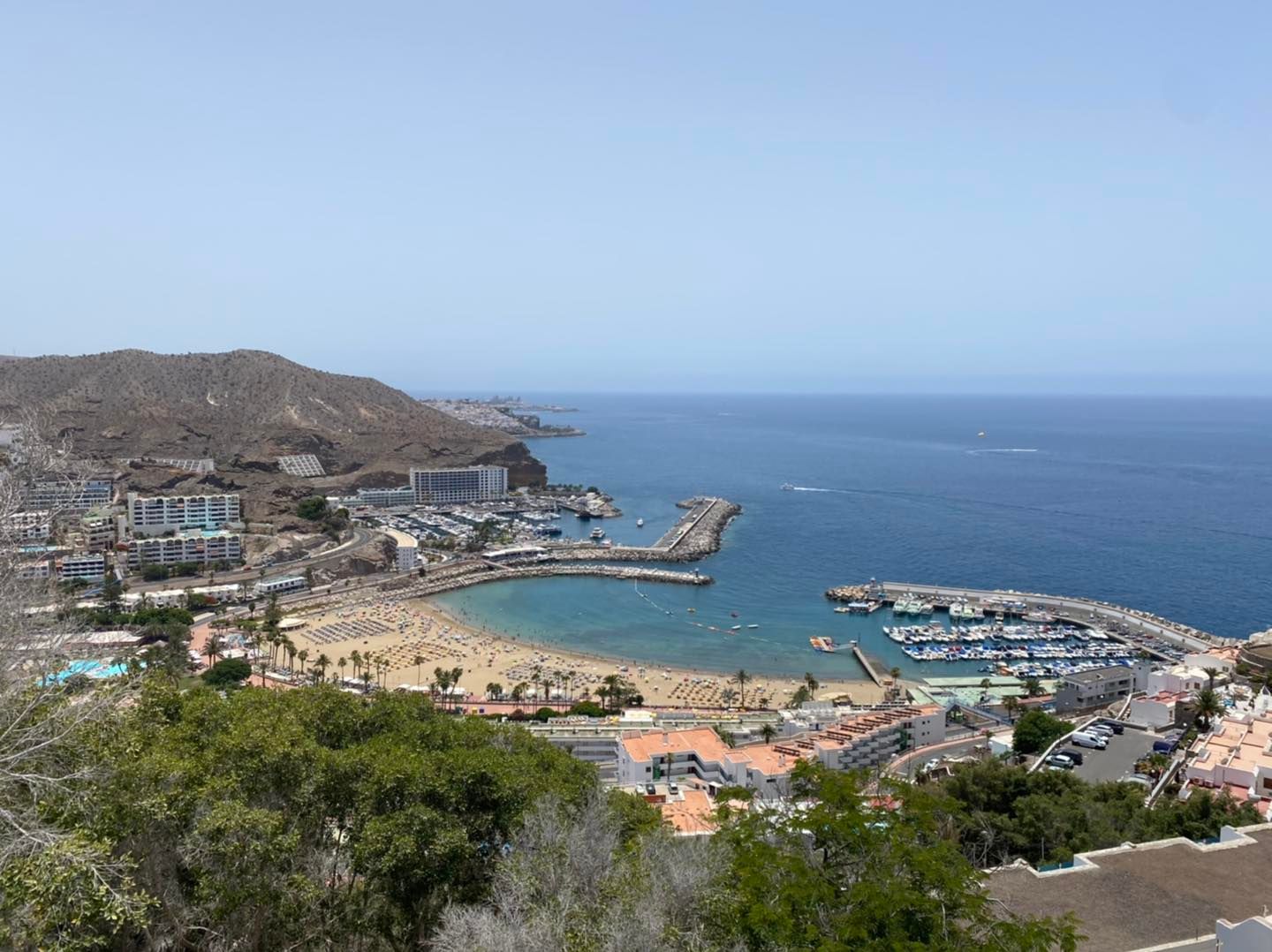
 Gran Canaria this Monday has a yellow warning (risk) due to large waves, and an orange warning activated (significant risk) as temperatures could climb to 37ºC in the shade, across some areas of the east, south and west, as well as at the summits where it is expected to reach 34ºC. Much hotter in direct sunlight.
The islands join the more than 30 Spanish provinces that have had advisory warnings for risk (yellow) or significant risk (orange) this Monday due to the heat wave, which will leave temperatures of more than 40 degrees in some places, according to this mornings forecasts from (AEMET).

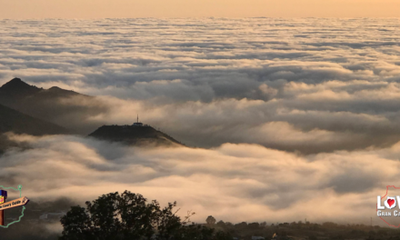
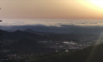
La Panza del Burro can be oppressively warm and can mean that Las Palmas hardly ever sees the sun at this time of year, until it clears in September
The Belly of The Donkey – La Panza del Burro
On Gran Canaria’s rugged northern coastal strip, the day has started with slight cloudy clearing during the morning, with could see more cloudy intervals from noon onwards tending towards still further cloud cover by the end of the day, this summer time phenomenon is named for the grey cloud cover that often hits the north of the islands during summer, trapping heat below it. The orange advisory alert for high temperatures will continue across the south of the island throughout the afternoon, as will the yellow advisory for rough seas.
On the rest of the island, slight some cloud is possible, but mostly clear skies, however Calima is affecting inland areas and the summits, though should start to clear by the end of the day. Night time temperatures will start to fall, locally notable in south facing inland areas; and maximum daytime temperatures will decrease slightly, although 37 ºC+ in the shade will still be likely inland across the south. North winds will have strong intervals, and occasionally very strong gusts on east and west slopes, more likely during the afternoon; at the summits, winds from the northeast should ease to light breezes during the second half of the day.
All advisory warnings should be cleared, as some cloud returns on Tuesday for the north of Gran Canaria, once again, tending to cloudy intervals during the middle of the day opening of some clear skies in the afternoon; across the rest of the island, there may be some slight cloud or else clear blue skies. Temperatures will fall noticeably inland and there will be a moderate cooling along the coasts; with 30ºC in the shade still likely, and could still be exceeded locally, particularly in direct sunlight. North winds will be more intense on the extreme west and southeast slopes; at summits, weak to moderate west winds.
By Wednesday we could see a predominance of slight cloud, or else clear skies with occasional intervals of low cloud, across the north of the island. Temperatures will see few changes though should continue to decrease towards seasonal averages. Winds will have a northerly component in high areas, and elsewhere will come from the west, generally as warm breezes.
As we head towards the weekend, daytime temperatures in the shade, on the south, could be sustained in the low to mid 30s, though evening values should return to a much more comfortable mid-20s centigrade, promising some tropical nights ahead without unwelcome interruptions to your beauty sleep.

