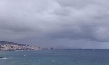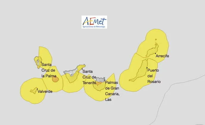
Spanish State Meteorological Agency (AEMET) activated a yellow advisory warning for rough seas along the east, south and west coasts of Gran Canaria this Thursday. Waves are expected to reach up to four meters in height. Advisory warnings for strong winds also took effect at 12 noon on Thursday affecting the south, east and west of Gran Canaria. Gusts of between 70 & 90 km/h are expected.
|
----- Google provide a way for you to
|
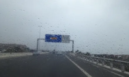
This Friday, the waves advisory is extended to the entire archipelago together with the warning for strong winds, except on the north of Gran Canaria. On the north and northeast, cloud is expected with probable drizzle. Elsewhere, a little cloudy or clear. Minimum temperatures dropping to between 17º & 19º C at night and maximum temperatures of between 23º to the north and up to 27ºC in the shade to the south. Strong north winds, with very strong gusts are expected on southeastern and northwestern slopes; occasionally reaching up to around 90 km/h on the summits of Gran Canaria later in the day where an orange advisory warning will be activated until midnight. Elsewhere the yellow notice will be maintained.


The situation will continue into Saturday, with the warnings for big waves remaining in force until midnight, affecting the entire coastline except the north coasts. In the northern lowlands, cloudy intervals are expected with a predominance of cloudy skies in both the early and later hours, with scattered drizzle possible. A little cloudy or clear elsewhere. Temperatures rising slightly. Strong northerly winds, with very strong gusts on southeast and northwest slopes, as well as on exposed peaks, tending to decrease through the afternoon. The yellow advisory warnings for strong winds and gusts likely to exceed 70 km/h on all the islands remains in place until midnight.

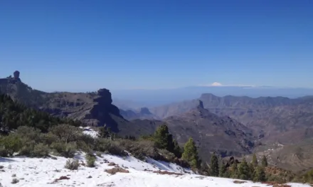
On Sunday low-lying areas of the north are expected to see cloudy intervals with a low probability of scattered drizzle by the end of the day. Elsewhere, a little cloudy with intervals of high cloud. Rising temperatures with night time lows of between 18 & 20ºC and daytime maximums in the shade hitting 30ºC. North winds with occasional very strong gusts are expected, especially on the southeast and northwest slopes, however no advisory warnings are predicted.

As we head into next week, there will be few changes, as high pressure and stability prevail there could be some low clouds to the north and northeast, occasionally strong gusts of wind on Monday, minimum temperatures of 18-20ºC climbing a touch as the week wears on, and maximums in the shade of around 25ºC to the north, but gradually increasing on the south from 32ºC on Monday up to 33ºC by Wednesday, as ever likely to be much hotter in direct sunlight. Very little by way of wind later in the week, except occasional breezes from the south and southwest.