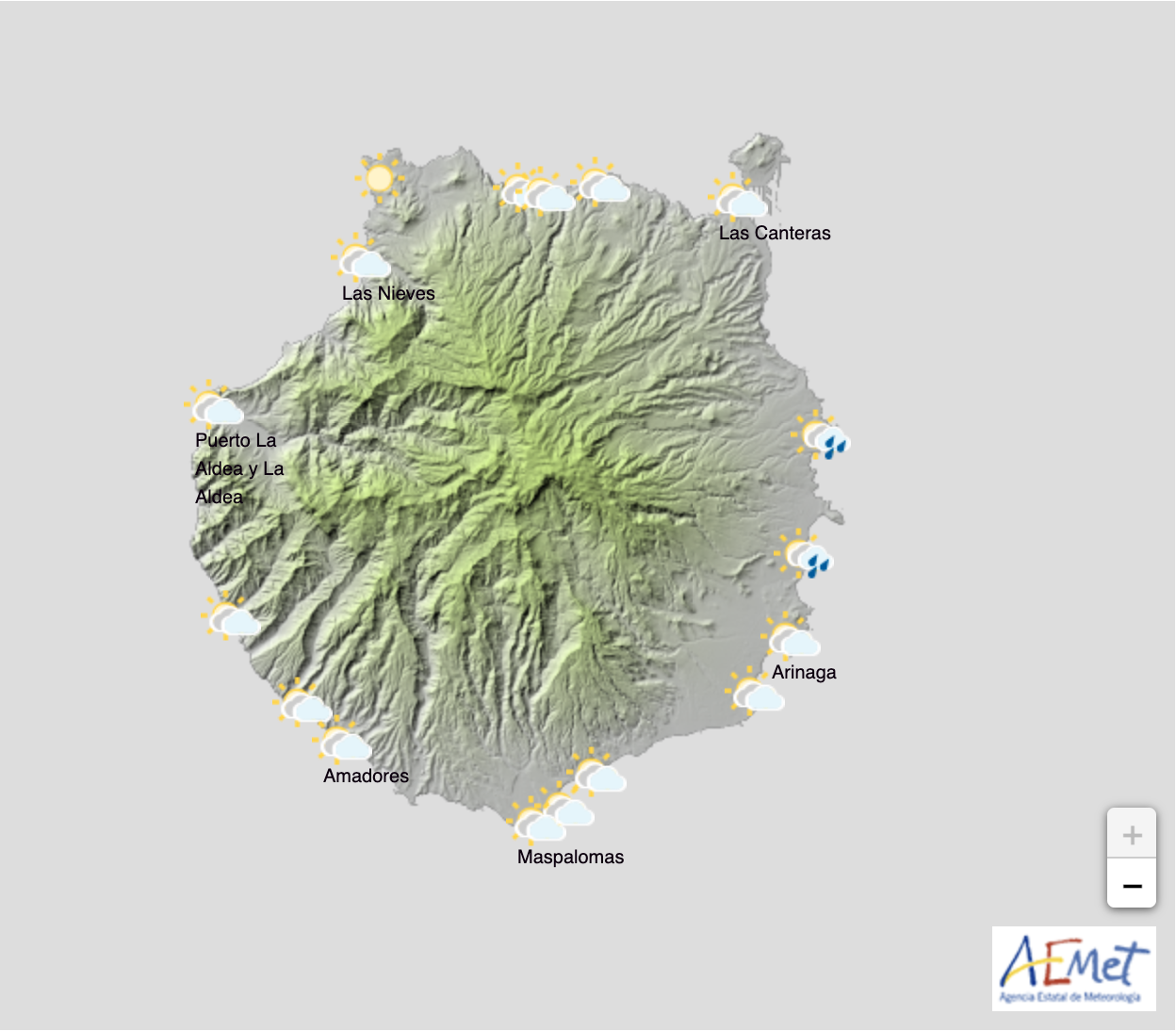
The Spanish State Meteorological Agency (AEMET) reports that from the afternoon of this Friday, March 5, the weather on Gran Canaria “will be similar to last weekend”, with the presence of “high pressure in the Azores and lows to the south of the peninsula” which will bring locally strong north winds, a drop in temperatures and rainfall to the Canary Islands.
AEMET predicts rain on Friday from the north with cloudy skies with from the second half of the day, although they do not rule out that there will be some showers in the morning, though these would be scattered.
On Saturday, March 6, there will be a predominance of cloudy skies with occasional rainfall from the north, which will be more frequent and intense inland, where there may be showers, and could even be snowfall at the very summit of the island, over 1800m altitude. Elsewhere, there will be cloudy intervals, and a potential for weak and occasional rains. Minimum temperatures with few changes and maximums in slight to moderate decrease. North wind with strong intervals. Probable gusts, locally very strong, in high areas, and without ruling them out on eastern and western slopes
On Sunday, March 7, rainfall will be occasional, especially during the first half of the day with a predominance of cloudy skies, and a potential of locally strong north winds. On the north occasional rainfall, especially throughout the day in Gran Canaria.Some weak and scattered rain. Temperatures with little change. North winds with strong intervals, which will turn northeast. In the early hours, probable locally very strong gusts in high areas and, also possible on the eastern and western slopes.
As the weekend ends, AEMET points out that minimum temperatures will register a slight rise as we head into next week, with springtime on our doorstep and blue skies ahead.


