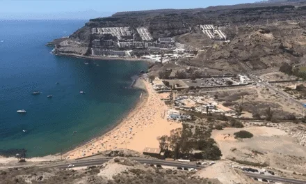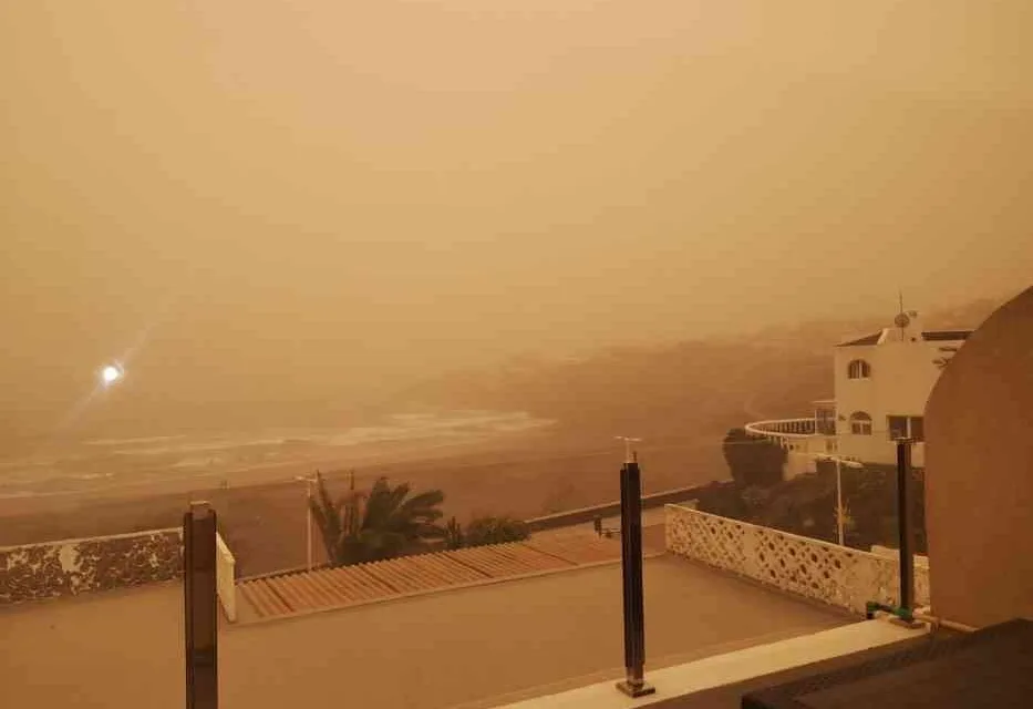
 Following a night of heavy Calima gusting across the north, south and west of Gran Canaria it seems that this morning things have calmed, just a little, though there is still and abundance of wind and dust, with prediction models suggesting that a return of some of the intensity is likely through the day on Sunday and, at least, into the first half of tomorrow, Monday.
The Spanish State Meteorological Agency AEMET have forecast more strong winds and dust, leading them to issue a further yellow advisory (risk) warning, for easterly winds becoming stronger again in the afternoon, “with very strong gusts in the eastern half [of the archipelago]” during the afternoon, accompanied by a reduction in visibility to below 3000 meters due to the presence “of the suspended dust [in the atmosphere]”. And predic that temperatures look likely to increase potentially rising to around 30º Celsius in shade.
 The yellow warnings are likely to be deactivated by Monday afternoon, thought there will still be strong Calima and a distinct possibility of “weak to moderate rainfall in the eastern islands”, which could come in the form of locally heavy showers. And the strong easterly winds look set to persist “more intensely during the first half of the day”.
The winds look set to change direction to come from the northeast by Tuesday afternoon, but are unlikely to clear the atmosphere of dust in any real sense, with Calima looking set to continue well into next week.

Cloudy skies could lead to “generally weak rainfall” which “may occasionally be in the form of showers and be accompanied by storms.”
Predicted temperatures look set to remain high until at least Wednesday, with the blanket of Calima dust “tending to remit during the second half of the day”