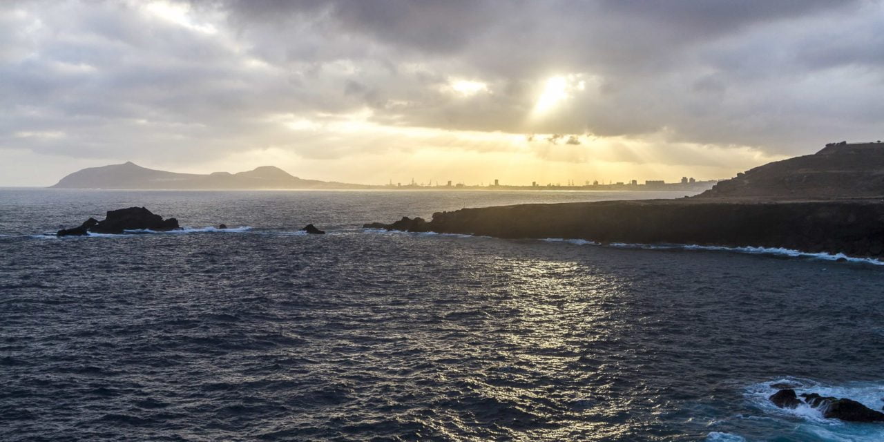
 Spanish State Meteorological Agency, AEMET, late on Thursday announced a yellow advisory for coastal phenomena and strong winds, gusting to 70km/h, overnight and into the the early hours of Friday morning, and sure enough north winds have buffeted the east, west and south west coasts of Gran Canaria throughout, reaching up towards force 7 out at sea and bring rough seas to coastal waters around the island.
Friday is expected to start cloudy with weak rains to the north of the island, and cloudy intervals likely elsewhere, though the south of the island, in the lee, can expect blue skies this morning. The yellow advisory for the south will be maintained for the rest of the day.
 Temperatures are expected to be a little lower than in recent days, particularly inland, with moderate north winds, more intense on east and west coasts, continuing to gust to more than 70 km/h at times, southern coasts, should become more breezy as the day wears on.


As the weekend gets going, some cloudy intervals are expected generally to the north, with a possibility of showers inland and on the southeast coast, while cloudy or clear elsewhere.
Minimum temperatures will change little while a slight rise is expected to maximums of around 21ºc in the shade, warmer in direct sunlight. Moderate northwest winds will continue into Saturday, turning weaker to the south in the afternoon.


