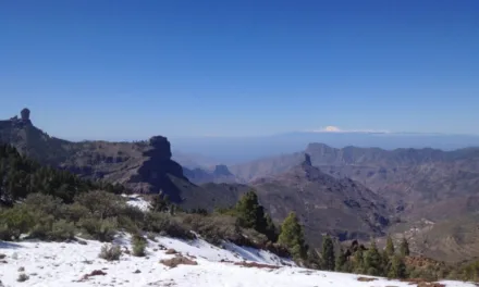
 As the 30th anniversary approaches of the hurricane winds that battered the UK in 1987, England has been enjoying unusually warm 20˚C autumn temperatures. Here on Gran Canaria two days of sweltering heat will begin to dissipate, after an unexpected heatwave with temperatures now at last beginning to descend towards normal for mid October.
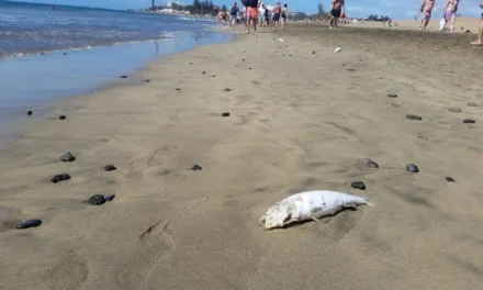
The strange white mist that blanketed the islands from Thursday, brought desert dust and sand blown on winds from the east and south-east, from the Saharan Air Layer, trapping warmth and blocking out the sun for many. A phenomenon locals know as Calima.
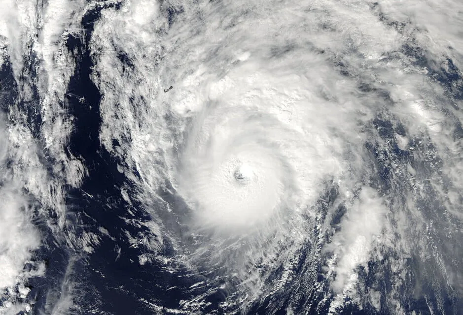
The summits of Gran Canaria recorded temperatures up to 41˚C in the shade, to be expected around August perhaps but rarely in the Autumn, with winds gusting over 60km/h today. As you look at the Atlantic charts, the first think you notice, lurking just south of The Azores is the mighty hurricane Ophelia.
 Though she is almost certainly not coming this way, it seems likely that this category 3 hurricane may well have played her part in sucking desert winds out to sea and over the archipelago, accompanied by the choking dust we’ve seen in recent days.
A further look at the forecasts and you start to appreciate that Ophelia is deceptively powerful, with a fairly narrow forecasted cone of trajectory, she is heading north east. Though she is right now narrowly missing the Azores, she is enough to cause alarm to nearby shipping as she strengthens her surrounding coat of stormy winds and rain.
 Caught as she is in the established paths of prevailing winds towards Ireland and The British Isles, Ophelia is expected to make landfall on Monday morning, and though there is a margin of error calculated at about 150 nautical miles either way, it seems clear that Ireland and the southwest of England are about to experience some serious wet weather.
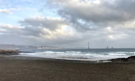
All maritime traffic in the east and north Atlantic are being warned of heavy seas.
Ophelia is the sixth major hurricane of the 2017 season and was last observed moving at 25 mph northeast with maximum sustained winds of 115 mph (that’s 185km/h in new money!).
 Ireland’s Met Eireann weather service have issued a “status red” warning for the western counties of Galway, Mayo, Clare, Cork and Kerry, forecasting that Ophelia could bring winds of 50 mph and gusts of more than 80 mph by Monday, with the potential for structural damage, high seas and flooding.

Britain’s Met Office have warned of very windy weather this Monday in Northern Ireland, Scotland and northern England.
By sheer coincidence, this Monday is the 30 year anniversary of the Great Storm of 1987, in which 18 people died in Britain with more than 15 million trees felled in a night, famously after Michael Fish and the met office tried to dispel fears of an incoming hurricane.
The US national Hurricane Centre have said the storm, though set to go extratropical, is likely to weaken on Monday and Tuesday, nevertheless it is expected to cause some serious storm weather throughout the region.
Ophelia is now the farthest east an major Atlantic hurricane has existed on record, according to one Philip Klotzbach, a meteorologist at Colorado State University.
Though it may seem a little uncomfortable and far too warm here on Gran Canaria, many round these parts are quite clear where they would rather be over the next few days. Good luck Ireland!
Here on Gran Canaria we can expect a few more days of muggy hot weather, but with temperatures gradually returning to normal. There is even the possibility of a little wet weather towards the end of next week…