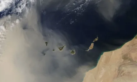
Canary Islands – A collaborative team of researchers from the University of La Laguna (ULL) and the State Meteorological Agency (AEMET) has identified a recurring atmospheric pattern that consistently precedes major wildfires in the Canary Islands. This discovery offers a potential new early warning indicator for fire risk.
|
----- Google provide a way for you to
|
Their findings, published in Environmental Research Letters, confirm that a “mid-level heat dome”—a warm air ridge approximately 3,000 meters above sea level—has appeared before nearly every significant forest fire in the archipelago since 1979. This pattern provides insight into fire risk beyond traditional surface-level temperature and humidity measurements.
A New Fire Forecasting Tool
The research team analyzed 46 years of satellite and weather data, cross-referencing it with historical fire records across the Canary Islands. They found a consistent pattern occurring 5 to 10 days prior to a major wildfire:
-
A warm air mass forms over the islands at mid-atmosphere levels.
-
This creates a stable, dry layer that traps heat near the surface.
-
These conditions effectively dry out vegetation and amplify surface temperatures, often without being noticeable in standard forecasts.
This effect is likened to a “lid” of hot air that prevents the upward movement of moisture and heat, a phenomenon previously under-studied in subtropical island environments like the Canaries.
Past Fires with This Pattern
Among the wildfires that showed this clear atmospheric signal beforehand are:
-
La Palma (2021) – nearly 900 hectares affected.
-
Tenerife (2023) – one of the largest in the island’s history.
-
Gran Canaria (2019) – several major simultaneous outbreaks, leading to mass evacuations.
-
La Gomera (2012) and El Hierro (2006) also aligned with this pattern.

This discovery suggests that the islands’ vulnerability to wildfire is not solely based on terrain and vegetation, but is also linked to large-scale atmospheric behavior.
Regional Climate, Not Just Local Weather
Lead researcher David Suárez of AEMET explained that this “mid-level heat ridge” is not detectable by surface-level weather stations. Instead, it reflects broader regional climate dynamics, often connected to:
-
High-pressure systems over the Atlantic.
-
Saharan air intrusions.
-
Limited moisture exchange in the lower atmosphere.
Under these conditions, fires can ignite more easily and spread more rapidly, even if local wind and surface temperatures do not appear extreme.
Implications for Fire Prevention
While the Canary Islands already utilize a multi-agency fire risk system (based on temperature, wind, and vegetation dryness), the study calls for new monitoring tools that focus on the middle atmosphere. Experts believe that incorporating this indicator into seasonal risk models could help to:
-
Improve advance warning protocols.
-
Allocate firefighting resources earlier.
-
Alert rural communities more effectively.
-
Adjust land-use and agricultural fire permits.
This will enhance ongoing efforts by the Canary Islands Government, which has increased funding for forest clearing, controlled burns, and emergency planning to mitigate wildfire risks.