Spanish State Meteorological Agency (AEMET) have announced the first proper heat wave of the summer, accompanied by desert winds from the Sahara this week. The trade winds have been keeping the archipelago cool, as the sub-tropical summer has started to heat up, however now AEMET foresees a notable rise in temperatures throughout July and in particular over the next few days. With “the African continental air mass” expected to “move westward affecting the Canary Islands”.
|
----- Google provide a way for you to
|


This weekend is set to see some of the highest temperatures in the Canary Islands so far this year, potentially exceeding a sultry 40ºC in the shade by Sunday, inland, across all the islands, according to AEMET’s latest forecasts. There is little if any chance of rain.

Areas to the north, this Wednesday, below 800 meters will likely start with some cloudy intervals clearing up during the middle of the day; with cloud returning during the later hours. Elsewhere any cloud is expected to clear as temperatures start rising, locally and south facing areas head towards 30ºC in the shade. Northeast winds will be strong in places, particularly the extreme northwest and on southeast slopes, where gusts could occasionally reach 70 km/h. At the summits, winds should be a little lighter, and more likely breezes across the south coasts


By Thursday a touch more cloud to the north, during the morning, clearing from midday and again returning a little towards sunset. Mostly clear blue skies elsewhere with probable light Calima dust and winds traveling at altitude, creating a thermal insulating layer of Saharan air above the archipelago. Maximum temperatures starting to rise, mainly affecting southern inland areas, where it could reach or exceed 32ºC in the shade locally. Northeast winds, with strong intervals to the extreme northwest and on southeast slopes, again with a probability of gusts reaching 70 km/h, more likely by the end of the day.

As the week comes to an end, increasing sand and dust from the African continent, just 160km away, is likely, causing temperatures to rise, even at night, inland. Maximum temperatures this Friday will rise generally, notably so in inland areas. With 30 – 32ºC expected or exceeded on some islands, and 34ºC likely across the southern half of Gran Canaria. Northeast winds will be more intense on southeast and northwest slopes.
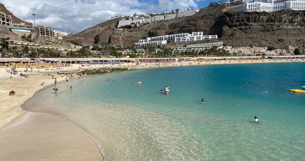
The Calima will continue into the weekend as maximum daytime and night time temperatures continue a moderate ascent. Temperatures exceeding 32 – 34ºC are expected inland, but should be slightly cooler on the north coasts, however in the southern resort areas of Mogán and Maspalomas thermometers are expected to reach 37º – 40ºC in the shade, much hotter in direct sunlight. Northerly winds, will be more intense on southeast and northwest slopes, while breezes are more likely across the southern beaches, giving little if any respite from the heatwave ahead, which will likely continue well into next week.