The weather across the Canary Islands, ahead of the main Día de Canarias May 30th holiday is expected to be a touch greyer than usual and with a little rain possible, according to the latest updates and weather forecast models from Spanish State Meteorological Agency AEMET. The tail of an Atlantic storm is expected to sweep over the islands from the early hours of Monday, Canary Islands Day, effecting the long “bridge” weekend ahead, throughout the Archipelago, leaving some light precipitation accompanied by cloudy skies. Usually the weather is much brighter on the south of the island.
|
----- Google provide a way for you to
|

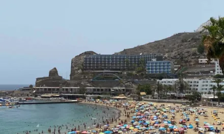
 This Thursday, out on the western-most islands, what is known as a “chipichipi” is expected bringing light persistent rains to La Palma from the early hours, followed later on with the possibility of an electrical storm approaching Fuerteventura and Lanzarote, with lightning arriving on its way out over the Atlantic travelling from North Africa, just 100km or so further east. On Gran Canaria the day starts a little cloudy, with some clear intervals to the north during the morning, and clearing to blue skies on the south. Temperatures are expected to remain fairly constant, with evening minimums of around 15ºC and maximums rising to between 23ª & 26ºC in the shade, though these differences can be more pronounced in inland areas, and at altitude. Moderate northeasterly winds, a touch more intense on southeastern and northwestern slopes. At summits, light to moderate southwest winds.


Friday and Saturday should see clear skies across all the islands and the weather looking good in general as we head into the weekend. Average temperatures are expected to range somewhere between 16ºC, at night, and 22ºC in the shade, daytime on the north, hitting 29ºC on the south. As ever a touch hotter in direct sunlight.

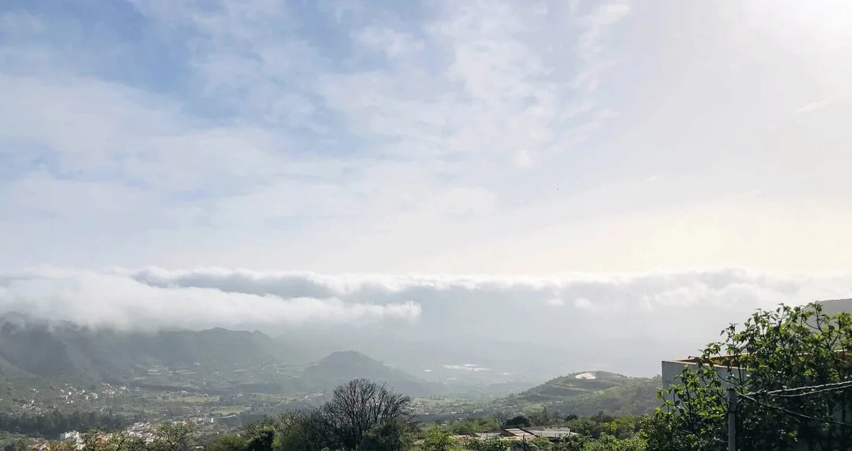
From Sunday the weather throughout the Canary Islands archipelago is expected to change, although thermometers should remain pretty constant. Weak rains are forecast to arrive on the northwest of Lanzarote, and cloud cover will start to dominate most of the islands, with low pressure expected to bring more rains, first to La Palma and then El Hierro, La Gomera and Tenerife as well as the north of Gran Canaria throughout the whole of Canary Islands Day, on Monday. There will be some possibility for rain to reach further towards the tourist resorts of southern Gran Canaria, however this is always harder to confirm on the long range forecasts, due to the action of the trade winds which often send cloud around the island, maintaining a “bubble of sunshine” on the southern coasts.

Some rains forecast for this May 30, Canary Islands Day. Overcast skies from the early hours of Monday are expected to clear a little during the day, with no strong gusts of wind predicted, barely reaching 30 km per hour on the highest peaks of Tenerife, and sea conditions looking fairly stable.
As we head towards the middle of next week and episode of Saharan dust (Calima) is being forecast across all the islands, which has the potential to be intense, although predicted to dissipate within the following 48 hours.