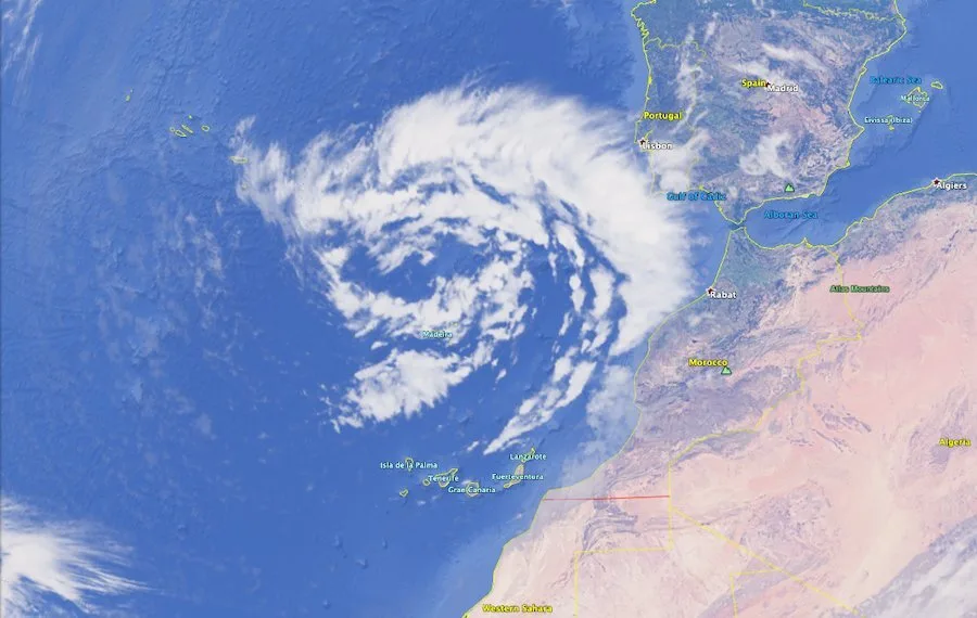
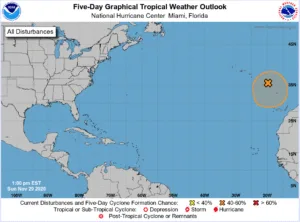
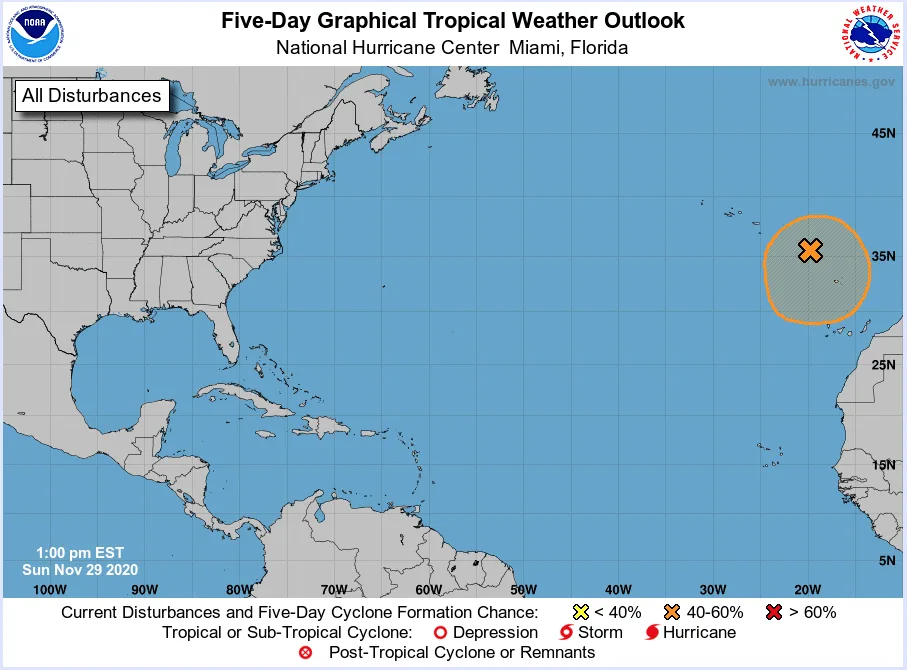
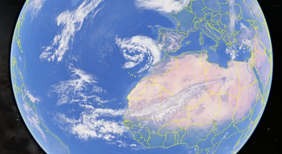
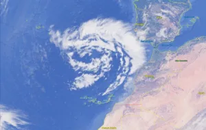
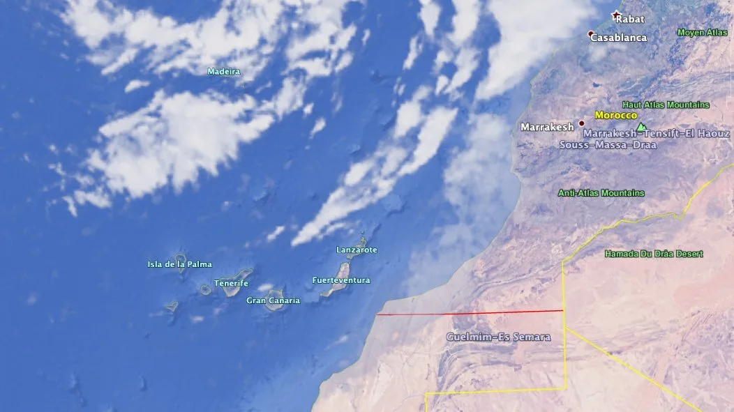
 This Monday the recent touch of wintery weather continues with a large non-tropical low pressure wet weather system centred over the eastern Atlantic Ocean, just north of the Madeira Islands, continuing to produce disorganised showers and thunderstorms. This meandering low is expected to continue over northern Macaronesia for the next day or so and could acquire subtropical storm characteristics during that time, reports the US NOAA National Hurricane Centre.
Afterwards, environmental conditions are currently forecast to become unfavourable for further development. There is what was described as a medium probability (40% likelihood) of cyclonic formation during the next 48 hours to five days. Though that has steadily grown from less than 20% before the weekend. Regardless of subtropical storm formation, this system will continue to produce strong winds and locally heavy rains in the Madeira Islands, and potentially The Canary Islands through Tuesday, bringing with it winds and wet weather from the west.
|
----- Google provide a way for you to
|

-
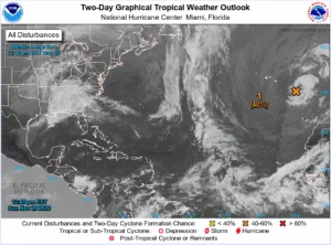
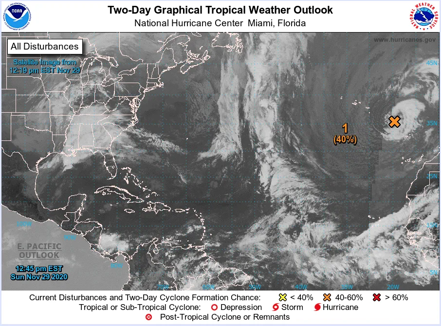
- 2 day Tropical Weather forecast Atlantic
-
- Potential Storm Marker
-
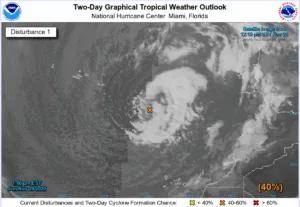
- 2 day Tropical Weather forecast East Atlantic

-
- 40% chance of storm over East Atlantic
-
- Wet weather Over North Macronesia
-

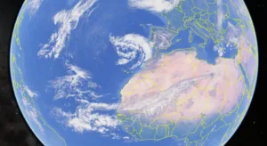
- Cloud Over Canary Islands
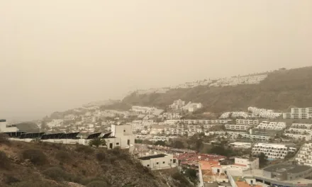
On Gran Canaria, the week has started with more wintery weather, mostly cloudy with occasional showers accompanied by thunderstorms, which may be locally strong or persistent on the southwest coast, including Mogán. Intervals of blue skies and sunshine to the south, though likely to remain cloudy throughout Monday to the north. Temperatures remaining around 20ºC and dropping to around 15ºC at night. Moderate southwest winds with strong intervals, with very strong gusts on high ground and mid-altitude areas to the north.

AEMET: Mogán 5 day temperature forecast
 Tuesday will see cloudy intervals with rain on south and southwest facing slopes, which may be locally persistent and accompanied by heavy showers. Temperatures will see minimal changes reaching up to around 20ºC. Moderate winds from the southwest, more intense on summits and on the northwest slopes.
AEMET: Mogán 5 day wind forecast
 Wednesday will see south and west facing areas start with cloudy intervals and probable rain, occasional showers. Elsewhere, cloudy intervals with weak precipitation in general. Temperatures changing little. Southwest winds decreasing from previous days.
AEMET: Mogán 5 day rain forecast
 Thursday is likely to start with predominantly cloudy skies, occasional showers accompanied by some wintery weather, potentially persistent locally on western slopes. Temperatures remaining the same around 20ºC daytime, a little cooler in the evening. Breezes and moderate southwest winds.