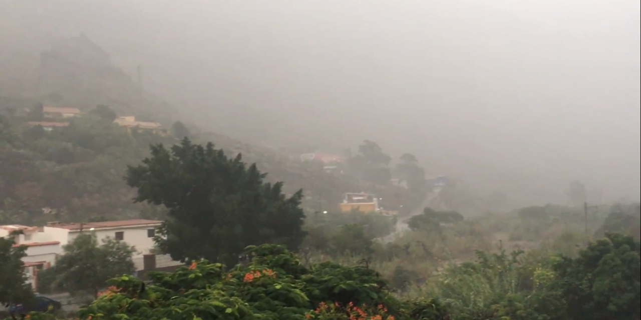
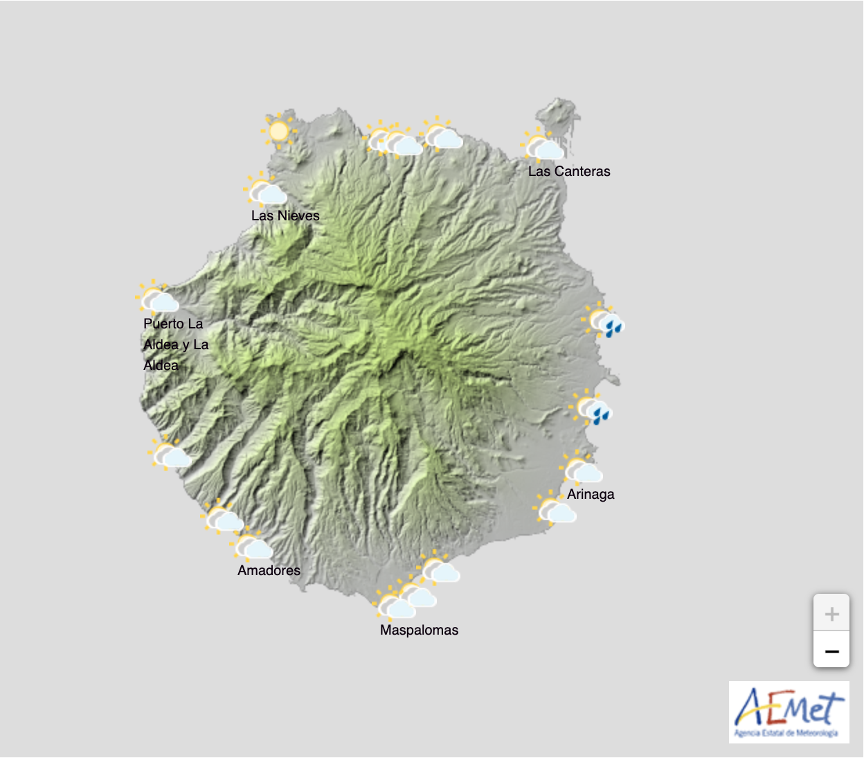
 Following one of the driest Decembers on record, Spanish State Meteorological Agency (AEMET) have forecast weak rains due to arrive this Thursday, ending a clear run of winter blue skies that have accompanied the holiday season on Gran Canaria.
After 45 days without rainfall, the north coasts look set to receive some showers to help remove the dry, Saharan dust-laden environment that we have experienced since the end of November. With repeated calima having brought African sands in the air, the last instance of which cleared up only a day or two ago.

Thursday, January 17, is predicted to see plenty of cloud and weak locally moderate rainfall from the north. Rains will be more intense during the second half of the day. Elsewhere, cloudy intervals are predicted with a low probability of some weak and scattered rain from midday, even on the southern coasts.
Minimum and Maximum temperatures look set to drop also, with a tangible chill in the air already being experienced among the islands’ mountain communities. There is even some suggestion, with wet weather and north winds blowing, that a dusting of snow could be left on the highest summits, with current predictions setting the snowline at below 1900m on Thursday and Friday.
Friday looks set to continue in a similar vein, with the probability of generally weak rainfall, especially inland and to the north during the first half of the day and on in to afternoon. There will be cloud across the archipelago say forecasters.
Saturday and Sunday look set to continue the grey and sometimes drizzly picture, with temperatures likely to see few changes. Northeast winds will gain intensity inland and at altitude.
Forecasters suggest Monday is unlikely to be much better.

