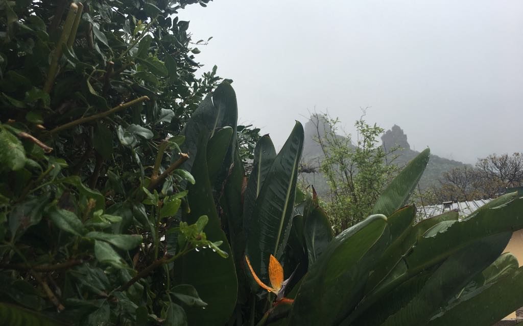
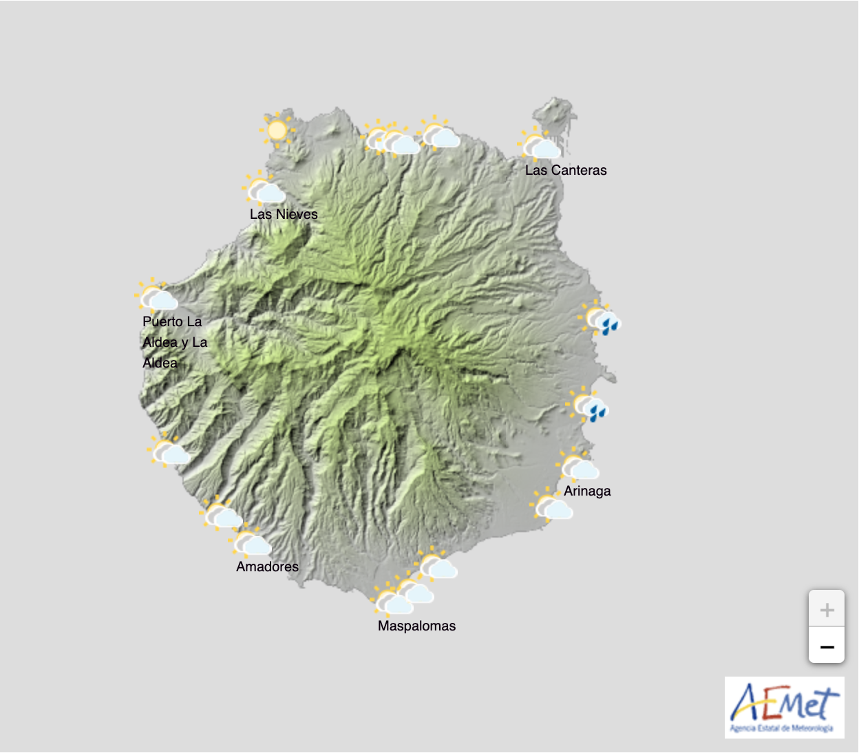
 The north and northeast slopes of the island have started with cloudy skies this Sunday morning, with weak rainfall expected to continue into the afternoon, especially in the northeastern regions, but beginning to lessen as the day wears on. Cloudy intervals elsewhere may produce a low probability of weak and scattered showers. Lows of 13ºC in the south and in coastal areas, with highs of around 20ºC, struggling to get above 14ºC at higher altitudes inland. Northeast wind, with strong intervals are expected in high areas and on southeast and northwest facing slopes . Breezes along the southwest coasts with scattered cloud and occasional sunny spells.
 More of the same on Monday with cloudy intervals tending toward overcast skies, and a probability of weak rains in the north and inland that could even form snow at altitudes above 1700 meters by the end of the day. On the southern slopes rain will be weak if any, and likely to clear by the end. Winds of about 25km/h from the north may bring intervals of strong gusts, turning to a strong northeasterly winds by the afternoon with a low probability of very strong gusts inland and in higher areas and on slopes facing northwest and east.
By Tuesday cloud across the archipelago, predominantly on northern slopes. A chance of occasional showers with a potential to be locally quite strong in places. Elsewhere less likely and dispersed. Forecasters are not ruling out an isolated storm here or there. Temperatures will see few changes. Northeasterly winds with locally strong gusts probable in higher altitude areas and on both the northwest and southeast slopes tending to decrease in the afternoon. Gusts at some summits of the islands could exceed 100 km/h.
By midweek the inclement weather should ease off for a little while, with some generally cloudy intervals in general, predominantly on northern slopes. Still a chance of occasional and scattered showers to the north of the islands. Temperatures rising slightly. Strong northeast winds reducing throughout the day on Wednesday, with still a low probability of locally very strong gusts in higher altitude areas and on northwest and southeast slopes in the early hours of the day. However the end of the week is increasingly looking like it will bring more wet weather before the weekend.


