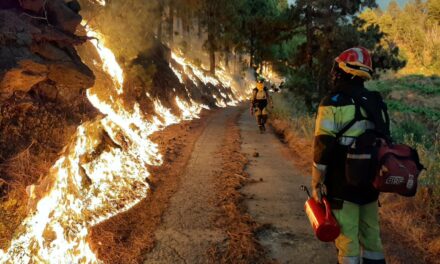
A high-altitude weather system known as a “DANA” located northwest of the Canary Islands, is expected to affect the islands over the coming days, leading to increased instability in the weather. Snow, rain, and Saharan dust, a phenomenon known as “calima”, are expected all through the weekend in the archipelago. Having started before the weekend and expected to last until at least Monday, rain and cold weather are expected throughout the islands, with snow even expected at higher elevations.
|
----- Google provide a way for you to
|


Night time lows of between 9º-12ºC are expected on the south of the island, dropping as low as 6º in mid altitude areas, but not going much below 14º-15ºC on the north coasts. During the day a fairly even 20º-21ºC is expected, in the shade, across the island, perhaps dropping a few degrees the higher your altitude, with snow levels expected down as low as 1600-1700m above sea level there is even a chance of a frosting up near the Tejeda almond blossom festivities this weekend.
After a dry warm December, many over recent weeks have been surprised by the night time chill felt across the island, with heavy rainfall reported in some northern areas.


According to the European weather forecasting model (ECMWF), this “dana” will bring rain to all the islands, with some intensity for Tenerife, La Palma, and Gran Canaria. Saturday will see the highest accumulations of water and it is also expected that the rains will arrive in the form of snow on the very highest peaks of the islands, especially on Tenerife.
AEMET have also indicated that a new cold front will arrive on Monday, affecting the Islands and leaving temperatures below seasonal averages, with more rain and snow likely on the highest peaks.
Over the coming days the Canary Islands can expect to continue with scattered rains, which may be locally abundant on some of the islands, with generally colder weather and snow on summits.

On Saturday, there will be intervals of clouds to the north but mostly clear skies elsewhere on Gran Canaria. The skies are expected to become cloudy in the afternoon with scattered and occasional showers. Temperatures will remain relatively stable. The wind will be light in general, coming from the northeast, with stronger gusts in the southeast and northwest and prevailing breezes along the southwest coasts.
By Sunday, there will be intervals of clouds, but mostly clear skies in the north and east in the afternoon, and elsewhere in the early and later hours of the day. There is a low probability of occasional weak rains for the northern half of the island during the early hours. Temperatures should remain relatively stable. The winds will be light from the east, turning to northeast by the end of the day.

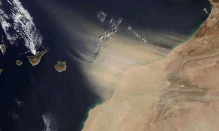
Forecasts indicate that the weather for the start of the new week will be partly cloudy with a possibility of scattered and occasional rains, especially in inland areas, and some possibility of thunderstorms. A light Calima haze is expected on the eastern islands, which will tend to decrease. Temperatures are expected to remain stable or slightly decrease, with weak frost expected on high mountain peaks. The winds will shift from the northeast to blow from the north during Monday afternoon.
The forecast for Tuesday is showing partly cloudy skies, with a predominance of cloudy skies to the north during the first half of the day and partly cloudy skies for the afternoon. Morning and early morning rains are expected, which will be more intense on north-facing slopes and will decrease from mid-day. Temperatures are expected to decline slightly.