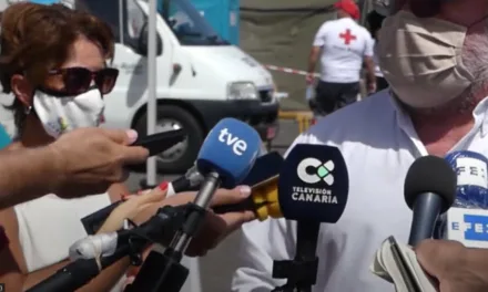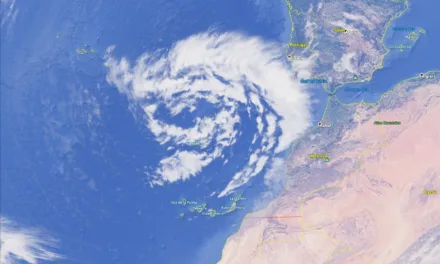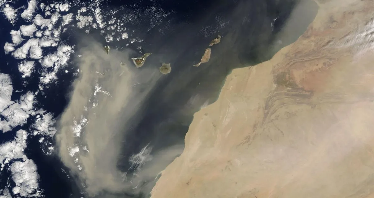
An intense Calima has been sweeping the Canary Islands since Monday, October 3. According to forecasts of the meteorological models consulted by CanariasAhora, Saharan dust will remain suspended in the air at least until Wednesday. It is expected that this episode will also affect the entire peninsula, especially southern and central parts of Spain.
Juan Jesús González Alemán, from the State Meteorological Agency (AEMET), explained “The Canary Islands are being affected by an unusual episode of Calima for the time” of year. He pointed out, the situation “is mainly caused by the arrival of an extremely anomalous DANA to the east, over Africa.”
Despite everything, the weather should remain stable this week on the islands, with no risk of strong winds, although gusts of 45 kilometres per hour could be recorded between the islands in the coming hours.

The rain could make an appearance this week, especially at the summits and to the north. There may even be a little thunder and lightning. Rain showers gain strength from Tuesday afternoon. While temperatures could reach 30ºC between Gran Canaria and Fuerteventura this weekend. While cloudiness may be a constant over the islands from Wednesday.