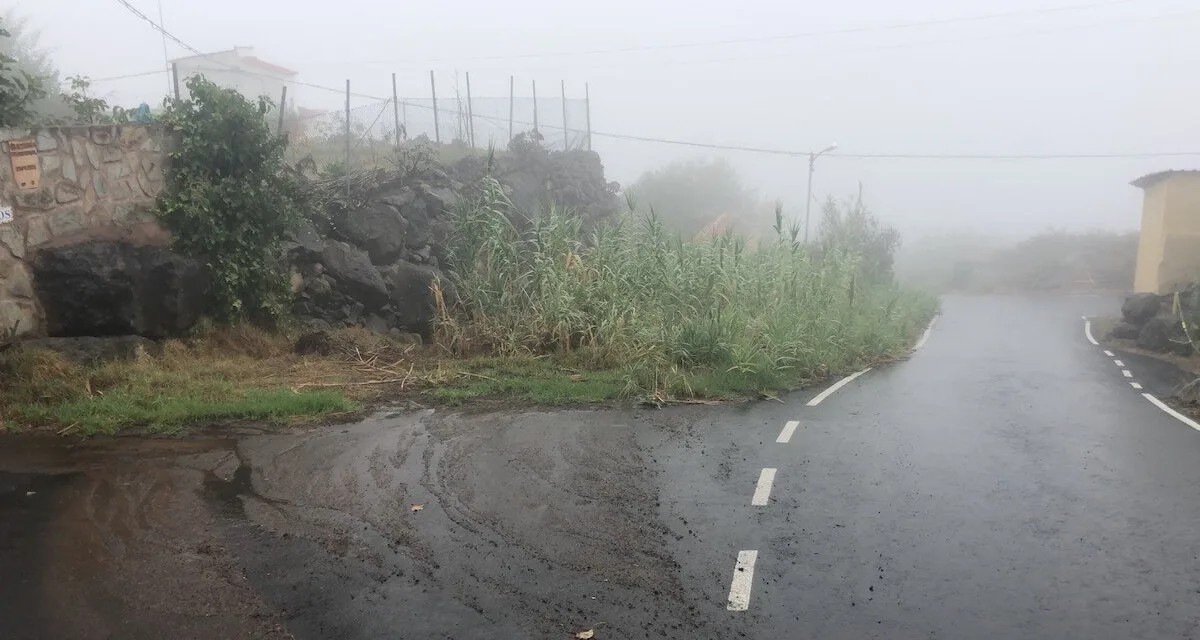
Tropical Storm ‘Hermine’ is expected to bring Autumn rains to The Canary Islands this weekend, reaching a peak for Sunday , which is expected to be “a complicated day”, according to the Emergency technicians at a Canary Islands press conference on Friday, with effects expected to last until Monday.
Among the official recommendations, they advised everyone to ensure they had candles, flashlights and a radio on hand, to be prepared in the event of a power outage. Likewise, the regional government highlighted the importance of not making any road trips that are not strictly necessary, especially avoiding traveling or crossing where water is flowing, so as to avoid unnecessary tragedies. In these situations “Firefighters are here to evacuate water and not to rescue people ,” they emphasised.
In anticipation of incidents on Sunday, the general population has been advised that “to get supplies on Saturday morning”, and prepare for what may happen on Sunday. “Hopefully Monday will come and there have been four drops, but we must be prepared to avoid unnecessary tragedies “, said the President of the Canarian Government Ángel Víctor Torres.
Self-protection measures
The Government of the Canary Islands has reminded the population of the existence of various protocols for the risks of rain, floods, storms or gusts of wind, with general recommendations for the population.
– Recommendations for heavy rainfall and risk of flooding

– Recommendations against strong gusts of wind
– Recommendations against strong storms
– Recommendations against floods
The US National Weather Service Hurricane Centre, who are monitoring Hermine, have suggested that the storm is rather weak and they do not expect it to intensify, in all likelihood being downgraded by Monday to a “remnant low”