The Atlantic cyclone that has formed to the south of the Canary Islands has in the last hour been officially upgraded from a tropical depression to a tropical storm. The new classification has confirmed this Friday night by the US National Hurricane Centre.
The president of the Canary Islands, Ángel Víctor Torres, reported this afternoon’s press conference that the Canary Islands would very likely be affected by what was then a “tropical depression”, a type of less intense cyclone; but not hurricane or storm.
 Now, the National Hurricane Centre has confirmed that it has increased in intensity and have named the weather system as Tropical Storm Hermine.
The Canary Islands Government’s General Directorate of Security and Emergencies this Friday declared a maximum alert throughout the Canary Islands in anticipation of heavy rains, storms and gusts of wind which look set to arrive on all the islands starting this Saturday.
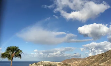
The Canary Islands are therefore expecting intense rains this weekend, which the president of the Canary Islands, Ángel Víctor Torres this Friday referred to as “the most important in the last decade”. In fact, it could rain over the next three days, at a rate 10 to 15 times greater the normal seasonal average for the entire month of September, according to the Spanish State Meteorological Agency (AEMET).
 Although the storm is not expected to hit the archipelago, the cyclone is expected, between Saturday and Monday, to leave more than 150 litres of water per square meter accumulating in some areas of the westernmost islands and on Gran Canaria, according to AEMET forecasts.
Significant effects are expected, particularly on La Gomera, El Hierro, La Palma, Tenerife and Gran Canaria, but the rains will be widespread across the archipelago. Fuerteventura and Lanzarote, therefore, will also be on alert.
Most sporting events and other public celebrations have been suspended under the direction of the Cabildos and local town halls. It is also quite possible that this weather event will affect airports.


METEOROLOGY STATAL AGENCY SPECIAL NOTICE OF ADVERSE EVENTS
SPECIAL NOTICE NUMBER 17/2022
ISSUED AT 23:30 OFFICIAL TIME ON 09/23/2022
THE STATE WEATHER AGENCY REPORTS:
1.- Meteorological phenomenon: Tropical Storm Hermine
2.- Geographical scope: Canary Islands
3.- Start of the situation: Saturday, September 24
4.- Duration: Until Monday, September 26 inclusive
5.- Degree of probability: Very High (80%)
6.- Description of the meteorological situation: The National Hurricane Centre (NHC), with headquarters in Miami, the agency responsible for monitoring tropical cyclones in the North Atlantic, reports today September 23, the formation of a tropical storm between the islands of Cape Verde and the African coast, which has been named “Hermine”.At 21:00 UTC it was located at 18.6N 20.5W, northeast of Cape Verde. It presents sustained winds of 65 km/h and a minimum pressure of 1002 mb, moving in a north-northwest direction at 17 km/h towards the Canary Islands
Although according to the latest data it will not fully impact the archipelago, it will come close enough to produce widespread, intense and persistent rainfall, accompanied by storms, during the weekend and the following Monday.
On Saturday 24 from noon, rainfall is expected that may accumulate up to 60 mm in 12 hours in many locations in the western islands.
On Sunday the 25th an intensification of rainfall is expected, which could be very strong (up to 30 mm in 1 hour) with accumulations of 100 mm, potentially 150 mm, every 12 hours, except on Lanzarote and Fuerteventura where up to 40 mm are expected every 12 hours. These rainfalls would continue during the first half of Monday 26. From then on, the tropical storm will make its transition to a tropical depression beginning to decrease the afternoon rainfall.
Although no wind storm or maritime storm is expected to affect the archipelago, they may. Strong or very strong gusts of wind, with a southern component, may occur on the western islands, as well as at sea, with wind with waves of around 2 meters in those same areas.
AEMET is preparing to disseminate the relevant forecasts and warnings for the aforementioned maritime areas through the usual bulletins and high seas through its website.
7.- Notification of future updates or termination: AEMET will issue a new Special Notice on Saturday 24 and recommends a more detailed and updated monitoring of this atmospheric situation through its predictions and warnings