Spain’s State Meteorological Agency (AEMET) have announced that this Thursday will activate a yellow advisory warning, for strong winds, reaching up to 70kmph gusts and perhaps even higher, on the north, east, south and west of Gran Canaria.
|
----- Google provide a way for you to
|
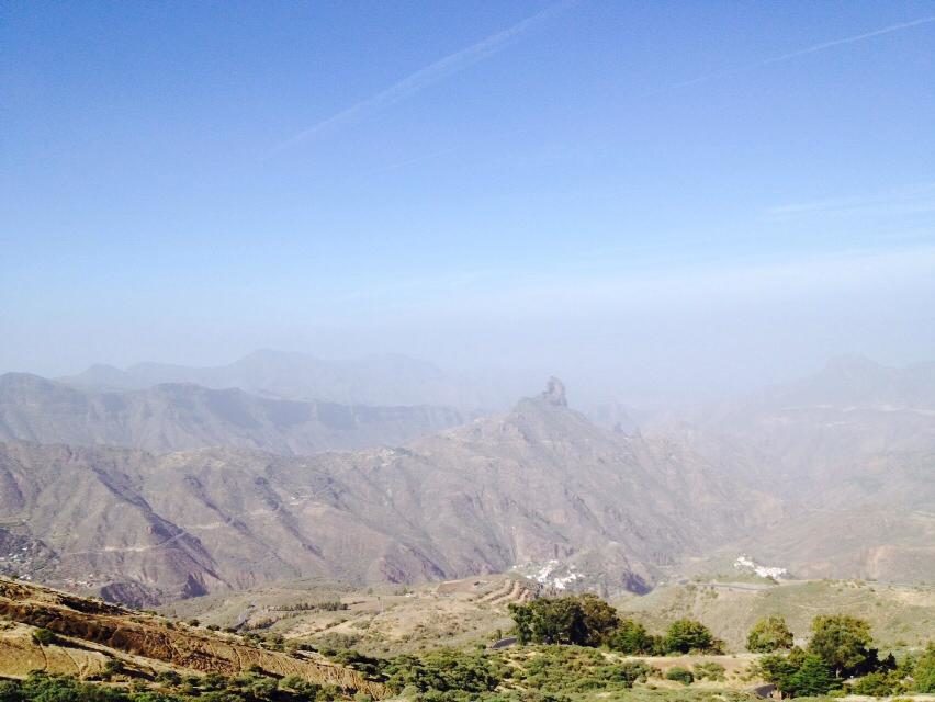
Tuesday started, in the north and northeast, with cloudy intervals during the morning that gave way to clear skies. Clear skies throughout the day elsewhere have been tempered with a slight Calima, increasing during the afternoon. Minimum temperatures with few changes and maximums on the rise, a small amount on the coasts and more moderately inland and at the summits. Moderate northeast winds, more intense on southeast and northwest slopes, with breezes prevailing along the north and south coasts. At the peaks, moderate southeast winds.

On Wednesday a clear start, with some cloudy intervals during the early morning and early hours along the north coast. Calima. Rising temperatures, most notable in the higher inland areas of the northern midlands. On the peaks, a weak to moderate southeast wind, extending through the mid-afternoon. On the coasts, weak to moderate northeast winds, more intense to the northwest and southeast, and turning southeasterly throughout the day, when it will become more intense along the northeast region (including the capital) and on the southern tip of the island.


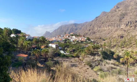
Thursday begins with intervals of high cloud. Calima, becoming more dense as we head into the afternoon and evening. Minimum temperatures will rise slightly; highs will see little change, in general, except on the north and west coasts, where there will be slight to moderate increases. Winds from the east to southeast will be moderate, with strong intervals at summits and on western and north facing slopes. Probable 70kmph gusts, during the early morning and in the early hours on the western slopes (from Gáldar to Mogán). By the end of the afternoon the gusts are expected to decrease to become billowy breezes.
Gran Canaria will have a Yellow Advisory active from midnight this Thursday until 08.59. Easterly 70kmph gusts are expected particularly affecting western slopes, from Gáldar down to Mogán.
Looking ahead to Friday, winds will likely remain southeasterly, although at the moment there are no warnings in force, the day could bring moderate to strong gusts during the early morning. The day starting a little cloudy, in general, with some intervals of cloud during the second half of the day in the north and west. Calima will continue, though will be retreating from west to east, being more dense in the eastern islands during the early hours. It should completely go during the second half of the day. Minimum temperatures falling slightly; as will maximums, being locally more noticeable inland. Wind from west to southwest moderate.

Saturday looks like it will start with cloudy skies to the north, and a probability of weak to moderate rain. Elsewhere, we’ll see cloudy intervals, without ruling out weak, scattered and occasional rains. Temperatures staying pretty much as they are, with perhaps a slight decrease. Winds from the west and perhaps moderately from the southwest, turning by the end of the day to moderate north-westerlies.
Meteorologists are monitoring an active cold front that could mean rain by Sunday, which would then likely continue into next week…