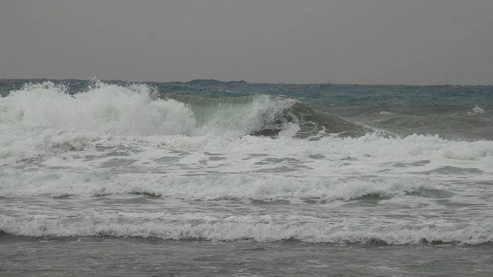
 The Canary Islands Government General Security and Emergency Directorate, on the basis of forecasts by the Spanish State Meteorological Agency (AEMET), have activated an alert for rough seas “adverse coastal phenomena” as of 9:00 pm this Sunday, with waves expected to reach up to 5.5 meters high.
The alert extends to the north and west coasts of the islands of El Hierro, La Palma, La Gomera, Fuerteventura and Lanzarote, and to the northern coasts of Tenerife and Gran Canaria. On Monday, winds of force 5 or 6 (30 to 50 kilometres per hour) are forecast from the west and southwest, so areas like La Aldea, Mogán and Maspalomas are likely to be affected, strong swell expected from the northwest, with waves reaching between 3 to 5 meters. The waves will be bigger “when they touch the coastline”, warns the Canary Islands alert.
|
----- Google provide a way for you to
|

All other coastal areas are to remain on a Pre-alert.
Cloudy skies and occasional showers accompanied by storm weather will predominate this Monday throughout the Canary Islands, according to AEMET.
At sea there will be northwesterly force 3 or 4 winds, soon increasing to northwesterly and westerly 4 or 5, which could locally reach 6 on north and south coasts of the island, eventually rolling east or southwest. Swell, increasing to strong swell. Northwest swells at 3 to 4 meters, rising to the north as much as 4 to 6 meters by dawn. Rain and downpours.
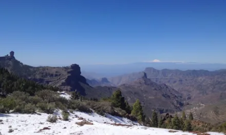
Throughout the day mostly cloudy with showers occasionally accompanied by thunderstorms, which could be strong or persistent in places, particularly on the southwest of the island. Temperatures unchanged. Moderate southwest winds with strong intervals, and very strong gusts in high and mid altitude areas of the north.