
Image:Love Gran Canaria
January in The Canary Islands saw the lowest maximum temperatures on record since 1969, along with heavy rains, snow, hail and strong gusts of wind that exceeded 130 kilometers per hour in some places, according to the latest Climatological Report from the Spanish State Meteorological Agency AEMET.
Thermal behavior during this first month of 2018 has been colder than normally expected in almost 60% of the Archipelago, including a good part of the eastern islands, almost the entire coastline of Gran Canaria. On the other hand, it has been warmer than usual in areas of the south and west of the western islands.
There were occasional thermal ascents, at least three of the days reaching maximum temperatures in the shade of 27-28ºC in some places like Mogán, on the south west of Gran Canaria, but all in all it has been a chilly January


At the end of the month, a remarkable drop in temperatures produced record lows in Lanzarote and Tenerife, and it was Fuerteventura Airport that registered the lowest maximum temperature since 1969 (13.7 °).
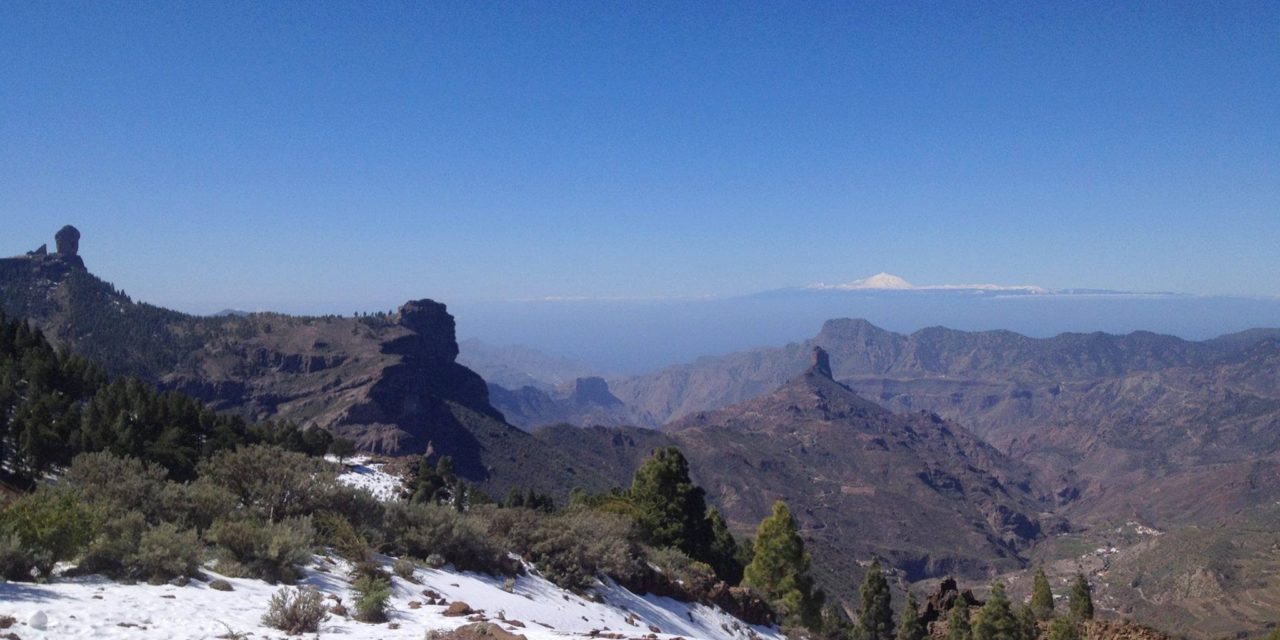
Rainfall was also higher than usual even tripling in some places what is usually expected. Wet weather predominated in the eastern islands particularly to the north. And at the summits of Gran Canaria, Cruz de Tejeda saw more than 90 mm of rain at one point and even snowfall at the very top later on in the month, twice in one week, if you count the first week of February into the bargain!
That all said, most of the weather stations across the archipelago have recorded more hours of sunshine than the expected average (in places between 10-40% more). With only the Fuerteventura airport (-8%) and the Los Rodeos Tenerife North airports (-31%) seeing significantly less than normal.


