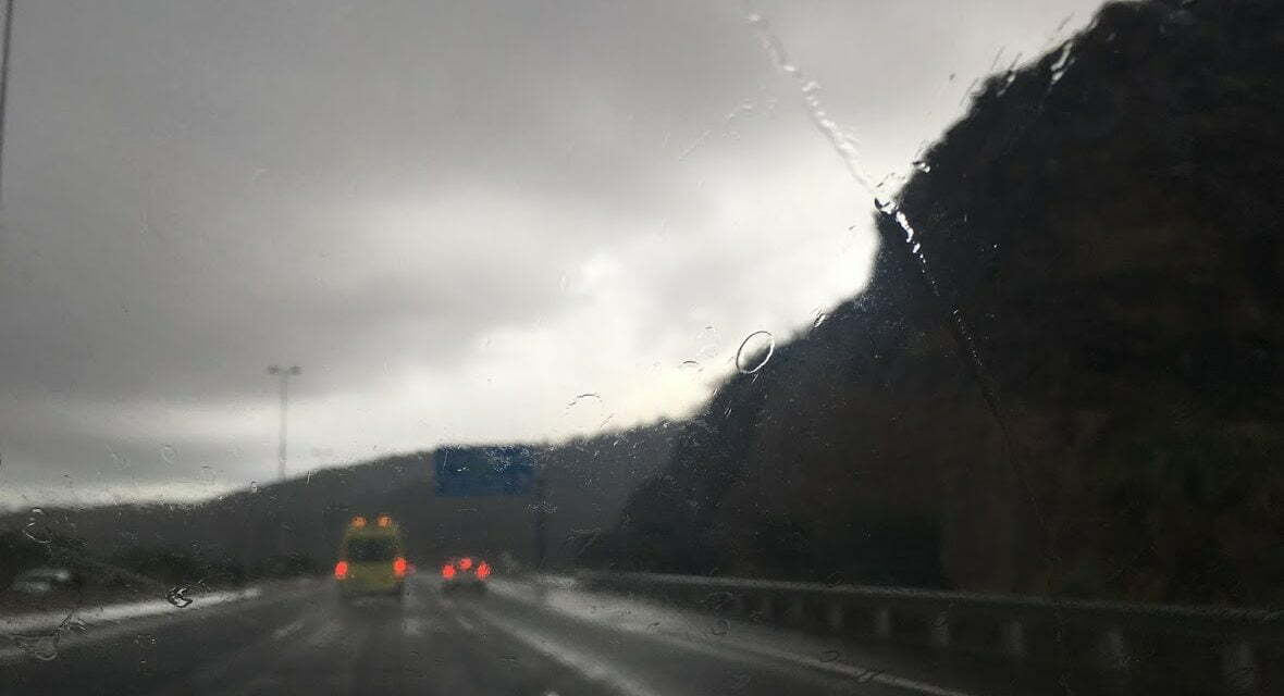

 The north half of Gran Canaria started Wednesday covered in cloud, with generally weak rains, mainly during the early morning, more abundant inland, tending to dissipate as the day moves on, while in the south a cloudy, breezy morning with no rain expected. According to AEMET, the Spanish State Meteorological Agency, temperatures will see few changes today, averaging around 18˚C with highs of around 20˚C and lows down to 13˚C. The strong northeast wind, more intense on southeast and northwest slopes and at the summits where the gusts could exceed 70 km/h, will tend to decrease by the end of the day. On the southwest coasts, a predominance of breezes. The AEMET yellow advisory remains in place across the archipelago for the rest of the day, warning of strong winds and seas along the coasts.

 Thursday will again start cloudy in the north while the south and the summits, may have a little but are expected to be generally much clearer. No rain is expected. Temperatures will stay around the same lows of 13˚C in the early morning and at night, and a slight rise in the daytime maximum expected to reach up towards 23˚C, more pronounced in higher areas. The moderate northeast wind will turn to blow from the north in the afternoon, more intense on the southeast and northwest coasts where gusts could reach 60 km/h; in the southwest, a predominance of breezes.
In the easternmost islands, on Friday, and on the north of Gran Canaria, the day will again start cloudy with a probability of weak rains; elsewhere cloudy intervals. Temperatures will continue with their winter averages in the high teens. Moderate northeast winds may be strong in places but tending to die down as the wind direction changes to become more northerly.


By the weekend there is a strong probability of weak rains; though on the south of the island little cloud, tending to clear. Temperatures with few changes perhaps a slight rise. Low to moderate north winds will maintain the slight seasonal chill.


