
Forecasters over the last few days have been expecting a DANA (which stands for High Altitude Isolated Atmospheric Depression – Depresión Atmosférica aislada en Niveles Altos) approaching from the north and bringing rainfall, while temperatures are expected to remain little changed, they could drop slightly as the weather system attracts colder air from the north. When a DANA like this brings significantly colder temperatures it is also known as a Gota Fría or “cold drop”.
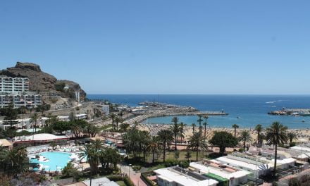
Though the rains are predicted with 100% probability, even in the south, it is likely that Friday in the tourist areas will be grey for a time.
Numerical models from Spain’s State Meteorological Agency, AEMET, have suggested the effects will be most noticeable this coming Friday and Saturday, as the depression will be closer to the islands and generate instability.
Hermine, a couple of weeks back, turned September into a record month in terms of rainfall, and the wettest since 1961 (the second was in 1967 with 38.4 liters per square meter on average), as well as being unusually warm.
According to the Climatological Advance made public this Tuesday, the average rainfall registered last month stood at 107.5 litres per square metre, 500% more, on average, than would usually be expected due to the short lived but powerful effects of Tropical Storm Hermine, which though it did not even actually visit the islands produced intense rains across the archipelago.
A warm month
The temperatures registered have averaged 21.8ºC (in the shade), an anomaly of 0.10 degrees higher than expected, which appears fairly normal character, in the reference data series.
Maximum temperatures, were markedly lower in both provinces, while, the minimum temperatures, registered higher values than expected, the effects of which were more pronounced in the eastern province of Las Palmas.
Thermally, the month was very stable, with average temperatures close to the expected average.
This thermal behaviour was reflected in the high number of nights classed as tropical, which affected practically all the coastal weather stations, as well as those located at lower levels, throughout all or, at least, most of the days of last month.

The maximum temperature recorded occurred on the 2nd and was due to the arrival of a mass of warm, humid air, with a southern component, which was put down to what is known as an «east wave».
The number of hours of sunshine was 10% lower than average for the period 1991-2020.
The Outlook for the days ahead
Wednesday will start with cloudy skies to the north of the island, with generally weak rains. Elsewhere, cloudy intervals, and possibly some weak and occasional precipitation. Temperatures will see few changes or perhaps a slight decrease, especially from the maximums inland. North winds, will blow from the northeast on the westernmost islands, more intensely during the second half of the day.
On Thursday north and inland areas of the islands will see a predominance of cloudy skies with probable light rains, which could be moderate locally. Elsewhere, cloudy intervals, possible light and occasional rains. Minimum night-time temperatures are unlikely to change much though may slightly rise. Northeast winds are expected, more intense on northwest and southeast slopes, as well as at the summits.

Friday will see continuing cloudy skies, particularly to the north, with weak to moderate rains. On other parts of the island, cloudy intervals are likely, with the possibility of some rainfall, generally weak and occasional. Temperatures unchanged or rising slightly. Northeasterly winds, more intense in the extreme northwest and southeast, moderate to strong in inland areas and at the summits.

Saturday should continue with cloudy skies with a probability of light rains from the north, mainly during the first half of the day. From midday skies will tend to clear with cloudy intervals. Elsewhere, a bit cloudy or clear. Minimum temperatures will see few changes or perhaps a slight decrease. Day time highs will also see few changes or perhaps rise slightly. Northeasterly winds, more intense on northwest and southeastern slopes.

Sunday too starts with cloudy intervals on the north of the Island. Slightly cloudy or clear skies expected elsewhere, though there could be some minor rainfall associated with cloudiness inland. Light winds from the north and northeast across the Canary Islands.
As we head into next week the Canary Islands should return to a weak trade wind, with some cloudy intervals to the north of the islands and temperatures with a tendency to rise.


