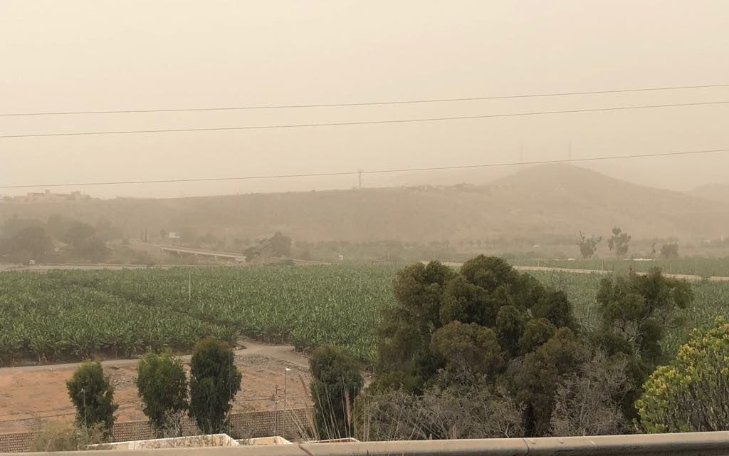
 The Canary Islands were taken by surprise today with a sudden Calima that does not seem to have been predicted by many.
Based on the satellite imagery it seems that the three major storm systems in the mid and west Atlantic ocean have pulled a large amount of dust from the Saharan Desert, suspended in the air, out to sea, leaving low visibility throughout the archipelago.
The model from Windy.com suggests it could well stay with us until the end of the week.
A “Pre-Alert” was only emitted at 16:15 this afternoon by the Canary Islands government, however it seems clear that visibility is very low and so we are just awaiting the meteorologists to report on their predictions and forecasts for the next few days.
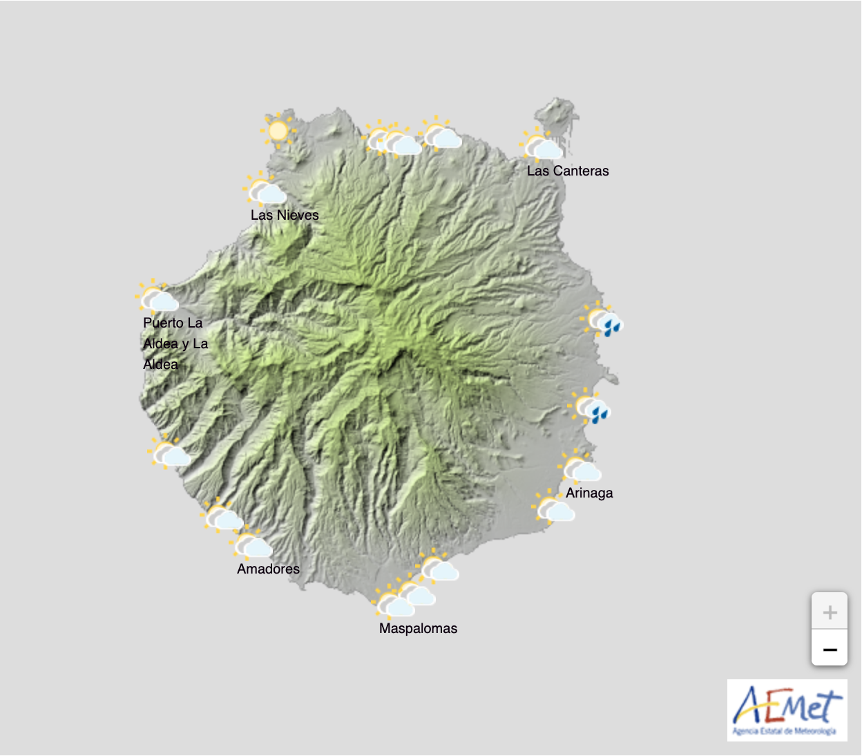
The Spanish State Meteorology Agency AEMET activated a yellow advisory warning for calima on the island of Gran Canaria for Wednesday.
An intense cloud of dust started to appear from first thing in the morning on the island, although the AEMET forecast was that visibility should improve slightly by the end of the afternoon on Wednesday. The warning is valid at least until midnight on tonight.
According to the Aemet website, the yellow advisory does not extend to other islands. Thermometers have reached 30º in the shade this Wednesday in some areas. Some municipalities have recorded up to 31.5º, the highest temperature recorded today on the Island.


