July 2022 saw two consecutive heat waves in The Canary Islands archipelago, and temperatures that reached maximums of 45º Celsius, making it the third warmest in the last 61 years, according to the climate analysis published by the Spanish State Meteorological Agency AEMET.
It details the average temperature, during the observed period, was 23.7º Celsius across the islands, a positive anomaly of 1.6º Celsius on what is usually expected, which classifies July as very warm, compared with seasonal averages. Some unusually high values contributed to this, such as 43.4º measured on Monday 25, the same day as Tasarte hit 45ºC, recorded at Lanzarote airport; 41.3º Celsius in Güimar; and 40º in Pájara, recorded on Sunday, July 10.
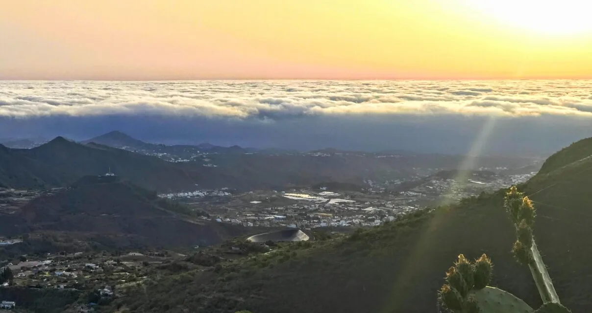
It was also a rather wet month for some places in the Canary Islands, according to AEMET, 250% more rain fell than would have been expected in the 1981-2010 series, making this the seventh wettest month of July since 1961, with an average value of two litres per square meter having fallen on the archipelago. It should be noted, however, that the bulk of these rains fell persistently in the midlands and to the north of the larger islands, as was the case on Gran Canaria, where some days of significant accumulations were added to the totals.
August arrived, maintaining some of the powerful heat of July, but as we enter the second week of the month somewhat cooler temperatures are expected, decreasing from the 36.6º maximum registered this Monday in the municipality of El Paso, on Las Palma ; 36.2º centigrade was recorded in Tejeda; and a maximum 35.1º in the shade was felt in Tunte to start this week.

AEMET forecast day time highs of around 30º Celsius, in the shade, locally this Tuesday, particularly in areas facing south and west, with overcast skies for several areas to the north of Gran Canaria and Lanzarote, but with the cloud clearing through the middle of the day for a time, to let the sunshine in.
Winds will continue to blow from the North East, as per the usual trade winds, with some power to the southeast coasts and on the northwest slopes, turning to the north on the eastern islands, in the province of Las Palmas this afternoon, while at the summits the winds will be generally loose and breezy. Monday, however, saw gusts reach speeds of up to 75 kilometres per hour in Agaete, on the north west, during the early hours of the morning.


Wednesday looks set to bring further declines in temperatures, more pronounced, according to the state agency, at the peaks and midlands of the most mountainous islands, offering a more refreshing atmosphere, due to the arrival of a northerly winds that should leave breezes on the southern slopes. Cloudier skies to the north and clear for the rest of the areas. This trend will continue until at least Friday, with no rains forecast, according to AEMET, though it is starting to look a little hotter again, after the weekend.