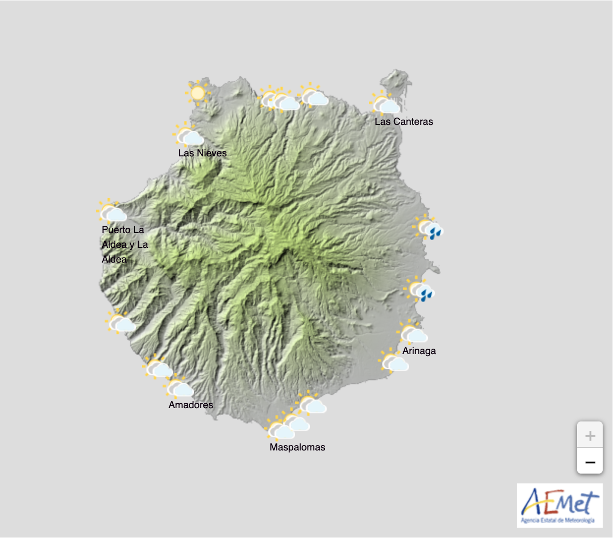
Yellow (risk) advisories are in place this Wednesday and Thursday, in the Canary Islands, due to heavy rain and strong winds forecast by the Spanish State Meteorological Agency (AEMET). An Atlantic storm to the north of us is expected to pass, over the next couple of days, bringing strong winds and rough seas to Gran Canaria and the archipelago, followed by a bigger storm likely to visit the island of Madeira at the weekend on its way to mainland Spain, bringing more wet weather to the islands as we head into next week.
Wednesday, November 25: To the north, cloudy intervals tending to get cloudier with weak rain that will increase in intensity and become persistent during the afternoon, there could be strong showers locally inland. Elsewhere, slightly cloudy skies becoming increasingly cloudy with a low probability of weak and scattered showers in the afternoon. Falling temperatures, will become locally notable inland around the summits and on north facing slopes. Variable winds from the northwest, with strong gusts, rain and strong winds expected in exposed areas during the afternoon.
Thursday, November 26: Mostly cloudy skies with persistent rain on north facing slopes accompanied by occasional heavy scattered showers, especially inland. Falling temperatures, more noticeable inland and at altitude. Northwesterly winds, with strong intervals and very strong gusts expected on the southwest and northeast peaks and slopes during the second half of the day.
Friday, November 27: Northern slopes will see showers, occasionally strong rain and strong winds producing stormy weather. Elsewhere a low probability of light rains in general. Temperatures will see few changes, with frost and even a potential for snow expected on the highest summits above 1900 meters. Strong northwesterly winds locally inland and at the summits with very strong gusts possible.
Over the weekend the rains will continue across the islands. The prediction for Saturday, November 28, indicates probable rain, particularly to the north, however less intense than over previous days. Temperatures should start to rise in the Canary Islands.
For Sunday, November 29, several scenarios are contemplated, according to AEMET, as a new storm approaches mainland Spain, rainfall expected in the Canary Islands likely.
The Canary Islands Government have declared and advisory alert for rough coastal seas
? ATENCIÓN
El Gobierno de Canarias, a través de la Dirección General de Seguridad y Emergencias, declara:
? Alerta por Fenómenos Costeros en #Canarias
➡️ Inicio: 21:00 horas del 26/11/2020
? Los detalles, vía @112canarias ⤵️ https://t.co/i58sENGLO3
— Presidencia GobCan (@PresiCan) November 25, 2020
Tiempo previsto en Canarias desde 24-11-2020 hasta 30-11-2020. Info siempre actualizada en https://t.co/pAtP17oqOG pic.twitter.com/ylVr8t7B31
— AEMET_Canarias (@AEMET_Canarias) November 24, 2020


