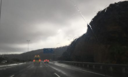
 More rain is expected this Tuesday, particularly on the north of the island, with cloud to start the first half of the day and the potential for showers, that could persist into the afternoon, when rainfall will become less likely, weaker and more occasional, according to Spanish State Meteorological Agency AEMET.
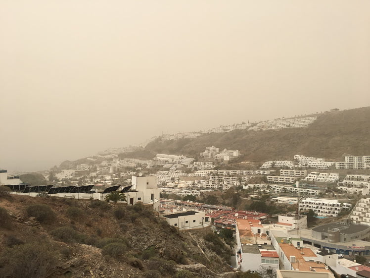
A high altitude depression, known in Spanish as a DANA (Depresión aislada en niveles altos) is moving northeast and is expected to flow towards the islands from the north, moving much of the Calima haze from the mid-altitude atmosphere, sending some of the dust from Africa, that has travelled to us via the Peninsula, to the south after its arrival on the Islands this Tuesday afternoon.
Temperatures in the capital, Las Palmas de Gran Canaria, are expected to range between a night time minimum of 15-16ºC and a day time maximum of 21ºC in the shade, according to AEMET, with strong northwesterly winds bringing potentially strong, hot gusts, which could reach up to 80 kilometres per hour in some areas.
In the southern lee of the island, most will be shielded from the worst of the winds, though there is a strong probability of light showers, diminishing as the day wears on, with top temperatures in the shade of between 24º & 25ºC, with a little more sunshine expected to return tomorrow.


At sea, north winds are expected of around force 4 to 5, swell or strong swell with northwest waves of around 2 meters.


