 Temperatures in the Gran Canaria capital, Las Palmas, over the next couple of days are expected to drop to between 21˚ & 25˚C according to predictions from the Spanish State Meteorological Agency AEMET, with moderate winds from the northeast, gusting at the summits to in excess of 60 kilometers per hour.
In the waters around the archipelago winds from the north or northeast of force 3 to 4 are expected reaching force 5 at times, occasionally choppy seas with 1 to 2 meter waves from the northwest.
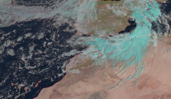
To the north of the island, cloud is expected with a chance of occasional weak showers mainly during the first half of the day on Friday. In the south, partly cloudy, increasingly in the afternoon with a low but clear chance of occasional weak showers.
Temperatures are set to decrease slightly with northeast winds, more intense on southeast and west coasts, and at the peaks, where rain and winds could occasionally reach 60 km/h in the afternoon. Breezy on the north and southwest coasts.
After a noticeably cooler weekend, with the distinct chance of rainfall, forecasts suggest that next week will begin with higher than average temperatures as winds shift once more to blow from the south and south east.
TEMPERATURES EXPECTED IN THE SHADE (C):
Las Palmas de Gran Canaria 21 – 25
Southern Gran Canaria 20 – 24


